Earthquake SAMOA ISLANDS REGION
Fri, 13 Nov 2009 17:22:07 GMT
Time16 years ago
Location
-15.8200, -172.9900
Depth
29.0 KM
Event Summary
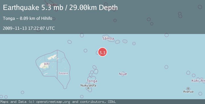
A 5.3 magnitude earthquake struck on SAMOA ISLANDS REGION, at Fri, 13 Nov 2009 17:22:07 GMT. Depth: 29km. Reviewed by EMSC seismologists, this moderate quake occurred at a magnitude type of mb.
Magnitude
5.3
mb
Source
EMSC
Intensity
-
Agency Reports
1 Sources| Source | Magnitude | Depth | Time |
|---|---|---|---|
| EMSCPrimary | 5.3 | 29 km | 16 years ago |
Earthquake Details
AutomaticEvent IDemsc_EMSC_20091113_0000029
Tsunami PotentialNo
Magnitude Typemb
Nearest Places
- 76.7 km
- 79.4 km
- 81.0 km
- 81.3 km
- 81.5 km
Comments
Join the discussion about this event.
Latest Earthquakes
1.2Mag
Southern Alaska
Time2 minutes ago
Depth39.43 km
SourceVYT (Automatic)
1.4Mag
60 km ENE of Pleasant Valley, Alaska
Time3 minutes ago
Depth1.70 km
SourceUSGS (Automatic)
2.8Mag
Central California
Time5 minutes ago
Depth10.50 km
SourceVYT (Automatic)
2.0Mag
Central Alaska
Time5 minutes ago
Depth84.47 km
SourceVYT (Automatic)
1.7Mag
Southern Alaska
Time7 minutes ago
Depth81.54 km
SourceVYT (Automatic)
Nearby Earthquakes
5.2Mag
TONGA
Time11 years ago
Depth30.00 km
SourceEMSC (Automatic)
5.9Mag
SAMOA ISLANDS REGION
Time16 years ago
Depth10.00 km
SourceEMSC (Automatic)
5.2Mag
TONGA
Time18 years ago
Depth10.00 km
SourceEMSC (Automatic)
5.5Mag
TONGA
Time10 years ago
Depth10.00 km
SourceEMSC (Automatic)
5.5Mag
TONGA
Time16 years ago
Depth10.00 km
SourceEMSC (Automatic)