Earthquake MOLUCCA SEA
Sat, 05 Dec 2009 16:43:10 GMT
Time16 years ago
Location
0.5200, 126.2200
Depth
54.0 KM
Event Summary
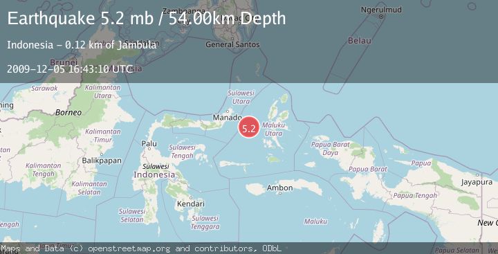
A 5.2 magnitude earthquake struck on MOLUCCA SEA, at Sat, 05 Dec 2009 16:43:10 GMT. Depth: 54km. Reviewed by EMSC seismologists, this moderate quake occurred at a magnitude type of mb.
Magnitude
5.2
mb
Source
EMSC
Intensity
-
Agency Reports
1 Sources| Source | Magnitude | Depth | Time |
|---|---|---|---|
| EMSCPrimary | 5.2 | 54 km | 16 years ago |
Earthquake Details
AutomaticEvent IDemsc_EMSC_20091205_0000022
Tsunami PotentialNo
Magnitude Typemb
Nearest Places
- Maluku Sea24.6 km
- Ternate Trough49.7 km
- Kelurahan Tifure50.5 km
- Pulau Tifore51.2 km
- Kelurahan Pantai Sagu51.7 km
Comments
Join the discussion about this event.
Latest Earthquakes
2.1Mag
Flores Region, Indonesia
Time3 minutes ago
Depth165.90 km
SourceBMKG
2.4Mag
Sumbawa region, Indonesia
Time4 minutes ago
Depth19.65 km
SourceVYT (Automatic)
2.1Mag
Poland
Time7 minutes ago
Depth1.95 km
SourceVYT (Automatic)
1.7Mag
2 km NW of Enterprise, Nevada
Time15 minutes ago
Depth15.89 km
SourceUSGS (Automatic)
1.3Mag
Southeastern Alaska
Time16 minutes ago
Depth7.20 km
SourceVYT (Automatic)
Nearby Earthquakes
4.0Mag
MOLUCCA SEA
Time6 years ago
Depth66.00 km
SourceDJA (Automatic)
4.0Mag
MOLUCCA SEA
Time6 years ago
Depth10.00 km
SourceDJA (Automatic)
5.4Mag
MOLUCCA SEA
Time7 years ago
Depth10.00 km
SourceEMSC (Automatic)
6.9Mag
MOLUCCA SEA
Time6 years ago
Depth20.00 km
SourceEMSC (Automatic)
4.0Mag
MOLUCCA SEA
Time6 years ago
Depth10.00 km
SourceDJA (Automatic)