Earthquake PHILIPPINE ISLANDS REGION
Tue, 29 Dec 2009 22:35:30 GMT
Time16 years ago
Location
10.2300, 126.6400
Depth
60.0 KM
Event Summary
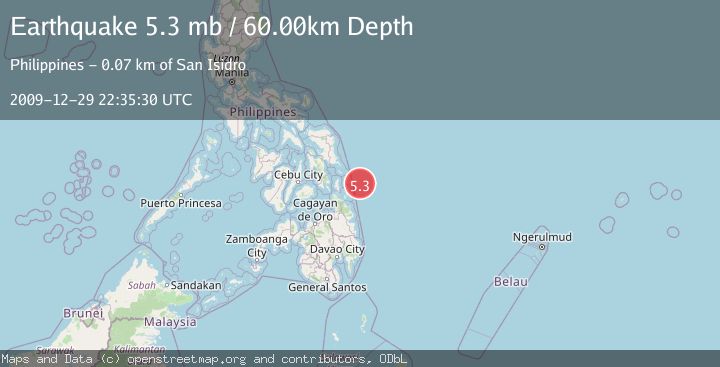
A 5.3 magnitude earthquake struck on PHILIPPINE ISLANDS REGION, at Tue, 29 Dec 2009 22:35:30 GMT. Depth: 60km. Reviewed by EMSC seismologists, this moderate quake occurred at a magnitude type of mb.
Magnitude
5.3
mb
Source
EMSC
Intensity
-
Agency Reports
1 Sources| Source | Magnitude | Depth | Time |
|---|---|---|---|
| EMSCPrimary | 5.3 | 60 km | 16 years ago |
Earthquake Details
AutomaticEvent IDemsc_EMSC_20091229_0000044
Tsunami PotentialNo
Magnitude Typemb
Nearest Places
- Emden Deep46.9 km
- Arena Point65.3 km
- Alegria65.5 km
- Sugbuhan Point65.7 km
- Baybay65.7 km
Comments
Join the discussion about this event.
Latest Earthquakes
3.6Mag
Offshore Crete, Greece
Time5 minutes ago
Depth76.42 km
SourceVYT (Automatic)
1.8Mag
Southeastern Alaska
Time12 minutes ago
Depth0.49 km
SourceVYT (Automatic)
1.8Mag
British Columbia, Canada
Time13 minutes ago
Depth0.00 km
SourceVYT (Automatic)
2.0Mag
SAN FRANCISCO BAY AREA, CALIF.
Time13 minutes ago
Depth18.40 km
SourceNC (Automatic)
2.2Mag
Sumbawa Region, Indonesia
Time13 minutes ago
Depth176.31 km
SourceBMKG
Nearby Earthquakes
3.0Mag
PHILIPPINE ISLANDS REGION
Time1 year ago
Depth2.00 km
SourcePIVS (Automatic)
3.3Mag
PHILIPPINE ISLANDS REGION
Time1 month ago
Depth19.00 km
SourcePIVS (Automatic)
3.0Mag
PHILIPPINE ISLANDS REGION
Time4 years ago
Depth11.00 km
SourcePIVS (Automatic)
5.0Mag
PHILIPPINE ISLANDS REGION
Time12 years ago
Depth10.00 km
SourceEMSC (Automatic)
3.0Mag
PHILIPPINE ISLANDS REGION
Time5 years ago
Depth5.00 km
SourcePIVS (Automatic)