Earthquake NEAR N COAST OF PAPUA, INDONESIA
Wed, 13 Jan 2010 17:18:10 GMT
Time16 years ago
Location
-0.7200, 133.3500
Depth
22.0 KM
Event Summary
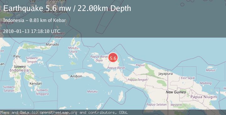
A 5.6 magnitude earthquake struck on NEAR N COAST OF PAPUA, INDONESIA, at Wed, 13 Jan 2010 17:18:10 GMT. Depth: 22km. Reviewed by EMSC seismologists, this moderate quake occurred at a magnitude type of mw.
Magnitude
5.6
mw
Source
EMSC
Intensity
-
Agency Reports
1 Sources| Source | Magnitude | Depth | Time |
|---|---|---|---|
| EMSCPrimary | 5.6 | 22 km | 16 years ago |
Earthquake Details
AutomaticEvent IDemsc_EMSC_20100113_0000063
Tsunami PotentialNo
Magnitude Typemw
Nearest Places
- Weusi0.3 km
- Distrik Mubrani4.0 km
- Prori4.3 km
- Kampung Bawey4.6 km
- Kampung Meyomnar4.8 km
Comments
Join the discussion about this event.
Latest Earthquakes
2.5Mag
Tarapaca, Chile
Time6 hours ago
Depth112.55 km
SourceVYT (Automatic)
2.2Mag
Tarapaca, Chile
Time6 hours ago
Depth111.94 km
SourceVYT (Automatic)
1.9Mag
Central Alaska
Time6 hours ago
Depth32.10 km
SourceVYT (Automatic)
3.4Mag
HAWAII REGION, HAWAII
Time6 hours ago
Depth4.70 km
SourceHV (Automatic)
1.9Mag
STRAIT OF GIBRALTAR
Time6 hours ago
Depth0.00 km
SourceIGN (Automatic)
Nearby Earthquakes
5.3Mag
NEAR N COAST OF PAPUA, INDONESIA
Time6 years ago
Depth10.00 km
SourceEMSC (Automatic)
5.0Mag
NEAR N COAST OF PAPUA, INDONESIA
Time7 years ago
Depth20.00 km
SourceEMSC (Automatic)
5.5Mag
NEAR N COAST OF PAPUA, INDONESIA
Time13 years ago
Depth10.00 km
SourceEMSC (Automatic)
5.8Mag
NEAR N COAST OF PAPUA, INDONESIA
Time13 years ago
Depth10.00 km
SourceEMSC (Automatic)
5.0Mag
NEAR N COAST OF PAPUA, INDONESIA
Time17 years ago
Depth40.00 km
SourceEMSC (Automatic)