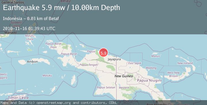
Earthquake NEAR N COAST OF PAPUA, INDONESIA
Tue, 16 Nov 2010 01:39:43 GMT
Time15 years ago
Location
-1.9500, 139.0800
Depth
10.0 KM
Event Summary
A 5.9 magnitude earthquake struck on NEAR N COAST OF PAPUA, INDONESIA, at Tue, 16 Nov 2010 01:39:43 GMT. Depth: 10km. Reviewed by EMSC seismologists, this moderate quake occurred at a magnitude type of mw.
Magnitude
5.9
mw
Source
EMSC
Intensity
-
Agency Reports
1 Sources| Source | Magnitude | Depth | Time |
|---|---|---|---|
| EMSCPrimary | 5.9 | 10 km | 15 years ago |
Earthquake Details
AutomaticEvent IDemsc_EMSC_20101116_0000003
Tsunami PotentialNo
Magnitude Typemw
Nearest Places
- Wakde7.3 km
- Kedir7.4 km
- Pulau Insumoar7.8 km
- Pulau-pulau Wakde8.3 km
- Kampung Timron8.5 km
Comments
Join the discussion about this event.
Latest Earthquakes
2.9Mag
Antofagasta, Chile
Time5 minutes ago
Depth109.25 km
SourceVYT (Automatic)
1.9Mag
Andreanof Islands, Aleutian Islands, Alaska
Time7 minutes ago
Depth0.85 km
SourceVYT (Automatic)
0.9Mag
Washington
Time9 minutes ago
Depth0.00 km
SourceVYT (Automatic)
2.7Mag
western Texas
Time12 minutes ago
Depth1.34 km
SourceVYT (Automatic)
2.7Mag
Fox Islands, Aleutian Islands, Alaska
Time15 minutes ago
Depth18.07 km
SourceVYT (Automatic)
Nearby Earthquakes
4.0Mag
NEAR N COAST OF PAPUA, INDONESIA
Time6 months ago
Depth16.00 km
SourceBMKG (Automatic)
2.5Mag
NEAR N COAST OF PAPUA, INDONESIA
Time1 month ago
Depth25.00 km
SourceBMKG (Automatic)
5.0Mag
NEAR N COAST OF PAPUA, INDONESIA
Time16 years ago
Depth30.00 km
SourceEMSC (Automatic)
5.1Mag
NEAR N COAST OF PAPUA, INDONESIA
Time16 years ago
Depth20.00 km
SourceEMSC (Automatic)
3.0Mag
NEAR N COAST OF PAPUA, INDONESIA
Time3 years ago
Depth26.00 km
SourceDJA (Automatic)