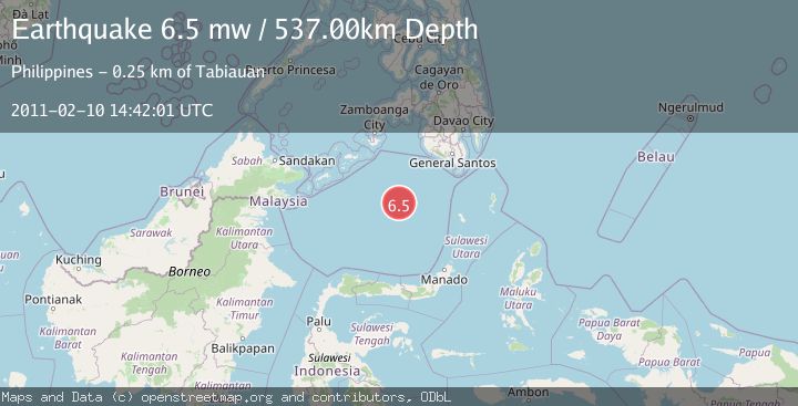
Earthquake CELEBES SEA
Thu, 10 Feb 2011 14:42:01 GMT
Time15 years ago
Location
4.1600, 123.0700
Depth
537.0 KM
Event Summary
A 6.5 magnitude earthquake struck on CELEBES SEA, at Thu, 10 Feb 2011 14:42:01 GMT. Depth: 537km. Reviewed by EMSC seismologists, this strong quake occurred at a magnitude type of mw.
Magnitude
6.5
mw
Source
EMSC
Intensity
-
Agency Reports
1 Sources| Source | Magnitude | Depth | Time |
|---|---|---|---|
| EMSCPrimary | 6.5 | 537 km | 15 years ago |
Earthquake Details
AutomaticEvent IDemsc_EMSC_20110210_0000037
Tsunami PotentialNo
Magnitude Typemw
Nearest Places
- 105.3 km
- 120.0 km
- 227.0 km
- 229.9 km
- 243.8 km
Comments
Join the discussion about this event.
Latest Earthquakes
0.9Mag
Washington
Time2 minutes ago
Depth0.00 km
SourceVYT (Automatic)
1.1Mag
7 km NW of The Geysers, CA
Time6 minutes ago
Depth2.74 km
SourceUSGS (Automatic)
2.7Mag
Minahasa, Sulawesi, Indonesia
Time17 minutes ago
Depth122.44 km
SourceVYT (Automatic)
2.7Mag
Greece-Albania border region
Time18 minutes ago
Depth0.00 km
SourceVYT (Automatic)
2.2Mag
NORTHERN CALIFORNIA
Time21 minutes ago
Depth2.90 km
SourceNC (Automatic)
Nearby Earthquakes
4.0Mag
CELEBES SEA
Time5 years ago
Depth556.00 km
SourceNEIC (Automatic)
5.1Mag
CELEBES SEA
Time5 years ago
Depth579.00 km
SourceEMSC (Automatic)
4.0Mag
CELEBES SEA
Time2 years ago
Depth511.20 km
SourceNEIC (Automatic)
5.0Mag
CELEBES SEA
Time5 years ago
Depth586.00 km
SourceEMSC (Automatic)
5.5Mag
CELEBES SEA
Time1 year ago
Depth555.00 km
SourceEMSC (Automatic)