Earthquake SOUTH OF KERMADEC ISLANDS
Mon, 18 Apr 2011 13:03:00 GMT
Time14 years ago
Location
-34.4000, 179.9800
Depth
60.0 KM
Event Summary
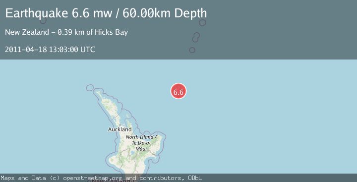
A 6.6 magnitude earthquake struck on SOUTH OF KERMADEC ISLANDS, at Mon, 18 Apr 2011 13:03:00 GMT. Depth: 60km. Reviewed by EMSC seismologists, this strong quake occurred at a magnitude type of mw.
Magnitude
6.6
mw
Source
EMSC
Intensity
-
Agency Reports
1 Sources| Source | Magnitude | Depth | Time |
|---|---|---|---|
| EMSCPrimary | 6.6 | 60 km | 14 years ago |
Earthquake Details
AutomaticEvent IDemsc_EMSC_20110418_0000040
Tsunami PotentialNo
Magnitude Typemw
Nearest Places
- Kibblewhite Seamount68.8 km
- Ngātoroirangi Seamount75.8 km
- Brothers Seamount99.3 km
- James Healy Seamount111.5 km
- Cotton Seamount117.0 km
Comments
Join the discussion about this event.
Latest Earthquakes
2.2Mag
Tarapaca, Chile
Time5 hours ago
Depth16.97 km
SourceVYT (Automatic)
1.8Mag
24 km ESE of Naalehu, Hawaii
Time5 hours ago
Depth31.03 km
SourceUSGS (Automatic)
2.0Mag
Tarapaca, Chile
Time5 hours ago
Depth0.00 km
SourceVYT (Automatic)
1.9Mag
Greater Los Angeles area, California
Time5 hours ago
Depth11.47 km
SourceVYT (Automatic)
1.1Mag
Southern Alaska
Time5 hours ago
Depth17.09 km
SourceVYT (Automatic)
Nearby Earthquakes
4.0Mag
SOUTH OF KERMADEC ISLANDS
Time2 years ago
Depth340.00 km
SourceGNS (Automatic)
5.1Mag
SOUTH OF KERMADEC ISLANDS
Time1 year ago
Depth35.00 km
SourceEMSC (Automatic)
4.0Mag
SOUTH OF KERMADEC ISLANDS
Time3 years ago
Depth33.00 km
SourceGNS (Automatic)
5.4Mag
SOUTH OF KERMADEC ISLANDS
Time6 years ago
Depth73.00 km
SourceNEIC (Automatic)
4.0Mag
SOUTH OF KERMADEC ISLANDS
Time4 years ago
Depth289.00 km
SourceGNS (Automatic)