Earthquake SOLOMON ISLANDS
Sun, 18 Sep 2011 18:35:24 GMT
Time14 years ago
Location
-10.5600, 161.4500
Depth
71.0 KM
Event Summary
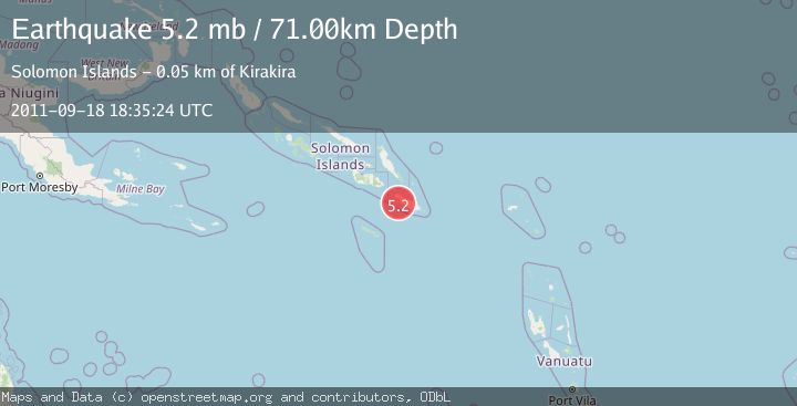
A 5.2 magnitude earthquake struck on SOLOMON ISLANDS, at Sun, 18 Sep 2011 18:35:24 GMT. Depth: 71km. Reviewed by EMSC seismologists, this moderate quake occurred at a magnitude type of mb.
Magnitude
5.2
mb
Source
EMSC
Intensity
-
Agency Reports
1 Sources| Source | Magnitude | Depth | Time |
|---|---|---|---|
| EMSCPrimary | 5.2 | 71 km | 14 years ago |
Earthquake Details
AutomaticEvent IDemsc_EMSC_20110918_0000044
Tsunami PotentialNo
Magnitude Typemb
Nearest Places
- 5.3 km
- 6.8 km
- 7.0 km
- 7.5 km
- 7.9 km
Comments
Join the discussion about this event.
Latest Earthquakes
2.5Mag
Sumbawa region, Indonesia
Time3 minutes ago
Depth121.70 km
SourceVYT (Automatic)
4.1Mag
northern Sumatra, Indonesia
Time3 minutes ago
Depth0.00 km
SourceVYT (Automatic)
2.4Mag
Hungary
Time3 minutes ago
Depth0.00 km
SourceVYT (Automatic)
2.5Mag
Minahassa Peninsula, Sulawesi
Time8 minutes ago
Depth11.57 km
SourceBMKG
2.5Mag
NEVADA
Time8 minutes ago
Depth4.40 km
SourceNN (Automatic)
Nearby Earthquakes
6.7Mag
SOLOMON ISLANDS
Time15 years ago
Depth40.00 km
SourceEMSC (Automatic)
5.2Mag
SOLOMON ISLANDS
Time14 years ago
Depth60.00 km
SourceEMSC (Automatic)
5.2Mag
SOLOMON ISLANDS
Time9 years ago
Depth60.00 km
SourceEMSC (Automatic)
5.2Mag
SOLOMON ISLANDS
Time9 years ago
Depth40.00 km
SourceEMSC (Automatic)
5.2Mag
SOLOMON ISLANDS
Time17 years ago
Depth60.00 km
SourceEMSC (Automatic)