Earthquake KEPULAUAN BABAR, INDONESIA
Tue, 01 Nov 2011 23:21:20 GMT
Time14 years ago
Location
-7.2100, 129.1900
Depth
182.0 KM
Event Summary
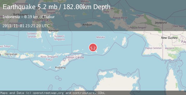
A 5.2 magnitude earthquake struck on KEPULAUAN BABAR, INDONESIA, at Tue, 01 Nov 2011 23:21:20 GMT. Depth: 182km. Reviewed by EMSC seismologists, this moderate quake occurred at a magnitude type of mb.
Magnitude
5.2
mb
Source
EMSC
Intensity
-
Agency Reports
1 Sources| Source | Magnitude | Depth | Time |
|---|---|---|---|
| EMSCPrimary | 5.2 | 182 km | 14 years ago |
Earthquake Details
AutomaticEvent IDemsc_EMSC_20111101_0000170
Tsunami PotentialNo
Magnitude Typemb
Nearest Places
- Isu25.0 km
- Pulau-pulau Damar25.6 km
- Layoni25.7 km
- Watludan25.8 km
- Pulau Teun27.0 km
Comments
Join the discussion about this event.
Latest Earthquakes
1.2Mag
19 km NNE of Indio, CA
Time3 minutes ago
Depth4.01 km
SourceUSGS (Automatic)
2.5Mag
northwestern Russia
Time5 minutes ago
Depth0.00 km
SourceVYT (Automatic)
1.8Mag
54 km S of Whites City, New Mexico
Time7 minutes ago
Depth6.07 km
SourceUSGS (Automatic)
2.0Mag
Arizona
Time10 minutes ago
Depth8.18 km
SourceVYT (Automatic)
2.9Mag
Bosnia and Herzegovina
Time12 minutes ago
Depth268.68 km
SourceVYT (Automatic)
Nearby Earthquakes
5.0Mag
KEPULAUAN BABAR, INDONESIA
Time20 years ago
Depth162.00 km
SourceNEIC (Automatic)
4.0Mag
KEPULAUAN BABAR, INDONESIA
Time4 years ago
Depth171.00 km
SourceDJA (Automatic)
5.3Mag
KEPULAUAN BABAR, INDONESIA
Time9 months ago
Depth165.80 km
SourceEMSC (Automatic)
5.4Mag
KEPULAUAN BABAR, INDONESIA
Time5 years ago
Depth138.00 km
SourceEMSC (Automatic)
5.1Mag
KEPULAUAN BABAR, INDONESIA
Time11 years ago
Depth186.00 km
SourceEMSC (Automatic)