Earthquake PHILIPPINE ISLANDS REGION
Sun, 16 Sep 2012 21:46:19 GMT
Time13 years ago
Location
10.7000, 126.8300
Depth
40.0 KM
Event Summary
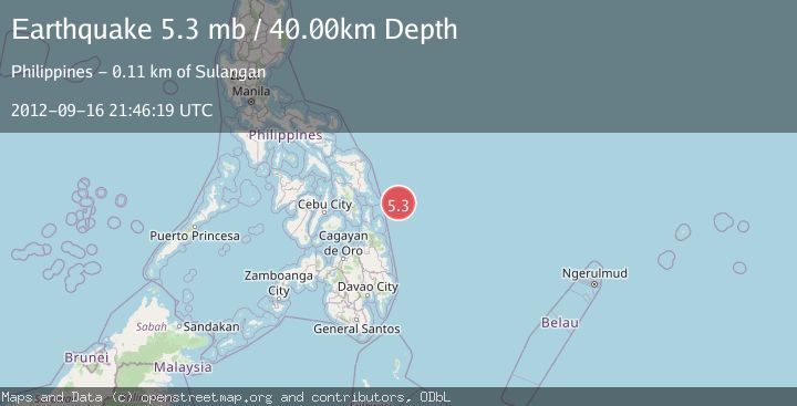
A 5.3 magnitude earthquake struck on PHILIPPINE ISLANDS REGION, at Sun, 16 Sep 2012 21:46:19 GMT. Depth: 40km. Reviewed by EMSC seismologists, this moderate quake occurred at a magnitude type of mb.
Magnitude
5.3
mb
Source
EMSC
Intensity
-
Agency Reports
1 Sources| Source | Magnitude | Depth | Time |
|---|---|---|---|
| EMSCPrimary | 5.3 | 40 km | 13 years ago |
Earthquake Details
AutomaticEvent IDemsc_EMSC_20120916_0000082
Tsunami PotentialNo
Magnitude Typemb
Nearest Places
- Emden Deep25.7 km
- Homonhon Seamount26.0 km
- Suluan Seamount29.0 km
- Candulo Ridge64.8 km
- Suluan Lighthouse94.6 km
Comments
Join the discussion about this event.
Latest Earthquakes
2.2Mag
Sulawesi, Indonesia
Time8 minutes ago
Depth17.09 km
SourceBMKG
3.2Mag
Southeastern Alaska
Time11 minutes ago
Depth0.00 km
SourceVYT (Automatic)
0.8Mag
6 km WNW of Cobb, CA
Time14 minutes ago
Depth1.91 km
SourceUSGS (Automatic)
2.9Mag
STRAIT OF GIBRALTAR
Time14 minutes ago
Depth5.00 km
SourceIGN (Automatic)
0.9Mag
7 km NW of The Geysers, CA
Time17 minutes ago
Depth2.49 km
SourceUSGS (Automatic)
Nearby Earthquakes
5.3Mag
PHILIPPINE ISLANDS REGION
Time13 years ago
Depth10.00 km
SourceEMSC (Automatic)
5.4Mag
PHILIPPINE ISLANDS REGION
Time13 years ago
Depth10.00 km
SourceGFZ (Automatic)
5.1Mag
PHILIPPINE ISLANDS REGION
Time12 years ago
Depth30.00 km
SourceEMSC (Automatic)
3.0Mag
PHILIPPINE ISLANDS REGION
Time4 years ago
Depth9.00 km
SourcePIVS (Automatic)
5.1Mag
PHILIPPINE ISLANDS REGION
Time12 years ago
Depth40.00 km
SourceEMSC (Automatic)