Earthquake NEAR S COAST OF PAPUA, INDONESIA
Fri, 12 Oct 2012 00:31:28 GMT
Time13 years ago
Location
-4.9100, 134.0500
Depth
10.0 KM
Event Summary
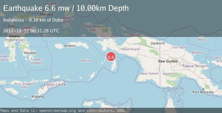
A 6.6 magnitude earthquake struck on NEAR S COAST OF PAPUA, INDONESIA, at Fri, 12 Oct 2012 00:31:28 GMT. Depth: 10km. Reviewed by EMSC seismologists, this strong quake occurred at a magnitude type of mw.
Magnitude
6.6
mw
Source
EMSC
Intensity
-
Agency Reports
1 Sources| Source | Magnitude | Depth | Time |
|---|---|---|---|
| EMSCPrimary | 6.6 | 10 km | 13 years ago |
Earthquake Details
AutomaticEvent IDemsc_EMSC_20121012_0000002
Tsunami PotentialNo
Magnitude Typemw
Nearest Places
- Aru Basin11.4 km
- Java Reef61.8 km
- Pulau Toba69.4 km
- Pulau Ngoba70.3 km
- Pulau Wasir71.0 km
Comments
Join the discussion about this event.
Latest Earthquakes
2.8Mag
Fox Islands, Aleutian Islands, Alaska
Time1 minute ago
Depth80.44 km
SourceVYT (Automatic)
0.9Mag
110 km S of McCarthy, Alaska
Time4 minutes ago
Depth18.50 km
SourceUSGS (Automatic)
3.0Mag
Central Alaska
Time4 minutes ago
Depth0.12 km
SourceVYT (Automatic)
2.5Mag
Minahassa Peninsula, Sulawesi
Time5 minutes ago
Depth4.95 km
SourceBMKG
2.9Mag
Minahasa, Sulawesi, Indonesia
Time6 minutes ago
Depth10.86 km
SourceVYT (Automatic)
Nearby Earthquakes
5.2Mag
NEAR S COAST OF PAPUA, INDONESIA
Time10 years ago
Depth30.00 km
SourceEMSC (Automatic)
5.0Mag
NEAR S COAST OF PAPUA, INDONESIA
Time13 years ago
Depth10.00 km
SourceEMSC (Automatic)
5.1Mag
NEAR S COAST OF PAPUA, INDONESIA
Time1 year ago
Depth10.00 km
SourceEMSC (Automatic)
4.0Mag
NEAR S COAST OF PAPUA, INDONESIA
Time2 years ago
Depth50.00 km
SourceBMKG (Automatic)
5.5Mag
NEAR S COAST OF PAPUA, INDONESIA
Time10 years ago
Depth10.00 km
SourceEMSC (Automatic)