Earthquake NORTH ISLAND OF NEW ZEALAND
Tue, 16 Oct 2012 23:42:56 GMT
Time13 years ago
Location
-38.7600, 176.3200
Depth
110.0 KM
Event Summary
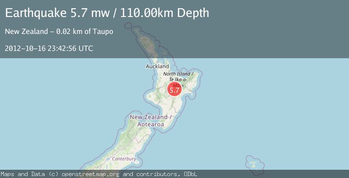
A 5.7 magnitude earthquake struck on NORTH ISLAND OF NEW ZEALAND, at Tue, 16 Oct 2012 23:42:56 GMT. Depth: 110km. Reviewed by EMSC seismologists, this moderate quake occurred at a magnitude type of mw.
Magnitude
5.7
mw
Source
EMSC
Intensity
-
Agency Reports
1 Sources| Source | Magnitude | Depth | Time |
|---|---|---|---|
| EMSCPrimary | 5.7 | 110 km | 13 years ago |
Earthquake Details
AutomaticEvent IDemsc_EMSC_20121016_0000087
Tsunami PotentialNo
Magnitude Typemw
Nearest Places
- Rangitaiki River4.3 km
- Pukuriri Lagoon4.9 km
- Waikaukau Stream6.0 km
- Opepe6.6 km
- Waimihia6.9 km
Comments
Join the discussion about this event.
Latest Earthquakes
4.5Mag
Tarapaca, Chile
Time3 minutes ago
Depth128.42 km
SourceVYT (Automatic)
1.5Mag
4 km NE of Muscoy, CA
Time10 minutes ago
Depth7.69 km
SourceUSGS (Automatic)
0.8Mag
6 km W of Cobb, CA
Time11 minutes ago
Depth0.90 km
SourceUSGS (Automatic)
1.4Mag
Southern Alaska
Time15 minutes ago
Depth70.19 km
SourceVYT (Automatic)
1.3Mag
14 km SW of Toms Place, CA
Time16 minutes ago
Depth5.49 km
SourceUSGS (Automatic)
Nearby Earthquakes
3.0Mag
NORTH ISLAND OF NEW ZEALAND
Time6 months ago
Depth18.90 km
SourceGNS (Automatic)
3.0Mag
NORTH ISLAND OF NEW ZEALAND
Time2 years ago
Depth68.00 km
SourceGNS (Automatic)
5.3Mag
NORTH ISLAND OF NEW ZEALAND
Time18 years ago
Depth74.00 km
SourceEMSC (Automatic)
3.0Mag
NORTH ISLAND OF NEW ZEALAND
Time3 years ago
Depth2.00 km
SourceGNS (Automatic)
3.0Mag
NORTH ISLAND OF NEW ZEALAND
Time2 years ago
Depth177.00 km
SourceGNS (Automatic)