Earthquake KEPULAUAN ARU REGION, INDONESIA
Thu, 13 Feb 2014 15:41:04 GMT
Time12 years ago
Location
-6.2000, 133.4100
Depth
10.0 KM
Event Summary
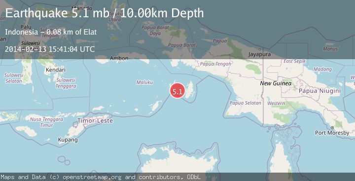
A 5.1 magnitude earthquake struck on KEPULAUAN ARU REGION, INDONESIA, at Thu, 13 Feb 2014 15:41:04 GMT. Depth: 10km. Reviewed by EMSC seismologists, this moderate quake occurred at a magnitude type of mb.
Magnitude
5.1
mb
Source
EMSC
Intensity
-
Agency Reports
1 Sources| Source | Magnitude | Depth | Time |
|---|---|---|---|
| EMSCPrimary | 5.1 | 10 km | 12 years ago |
Earthquake Details
AutomaticEvent IDemsc_EMSC_20140213_0000066
Tsunami PotentialNo
Magnitude Typemb
Nearest Places
- Watuwear62.8 km
- Tanjung Obahan62.8 km
- Mastel62.9 km
- Sather63.2 km
- Tanjung Niruntutut63.6 km
Comments
Join the discussion about this event.
Latest Earthquakes
2.5Mag
Bering Strait
Time3 hours ago
Depth200.07 km
SourceVYT (Automatic)
2.3Mag
Sumbawa Region, Indonesia
Time3 hours ago
Depth10.00 km
SourceBMKG
1.6Mag
13 km ENE of Falls City, Texas
Time4 hours ago
Depth7.18 km
SourceUSGS (Automatic)
1.5Mag
EASTERN TURKEY
Time4 hours ago
Depth7.00 km
SourceAFAD (Automatic)
1.3Mag
5 km S of Cabazon, CA
Time4 hours ago
Depth5.80 km
SourceUSGS (Automatic)
Nearby Earthquakes
5.5Mag
KEPULAUAN ARU REGION, INDONESIA
Time15 years ago
Depth10.00 km
SourceEMSC (Automatic)
4.0Mag
KEPULAUAN KAI, INDONESIA
Time3 years ago
Depth30.00 km
SourceDJA (Automatic)
5.5Mag
KEPULAUAN ARU REGION, INDONESIA
Time8 years ago
Depth10.00 km
SourceEMSC (Automatic)
3.8Mag
KEPULAUAN ARU REGION, INDONESIA
Time1 month ago
Depth74.00 km
SourceBMKG (Automatic)
4.1Mag
KEPULAUAN ARU REGION, INDONESIA
Time1 month ago
Depth88.00 km
SourceBMKG (Automatic)