Earthquake SOUTH OF KERMADEC ISLANDS
Thu, 20 Feb 2014 05:18:19 GMT
Time12 years ago
Location
-32.4900, -178.6800
Depth
10.0 KM
Event Summary
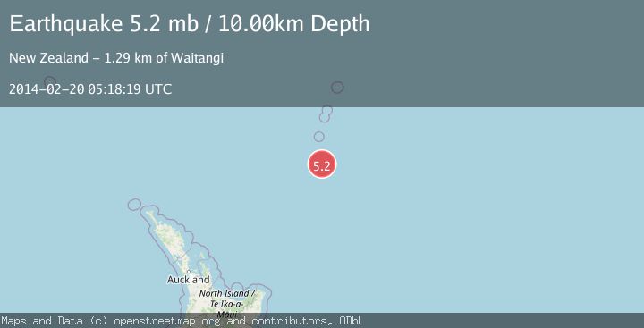
A 5.2 magnitude earthquake struck on SOUTH OF KERMADEC ISLANDS, at Thu, 20 Feb 2014 05:18:19 GMT. Depth: 10km. Reviewed by EMSC seismologists, this moderate quake occurred at a magnitude type of mb.
Magnitude
5.2
mb
Source
EMSC
Intensity
-
Agency Reports
1 Sources| Source | Magnitude | Depth | Time |
|---|---|---|---|
| EMSCPrimary | 5.2 | 10 km | 12 years ago |
Earthquake Details
AutomaticEvent IDemsc_EMSC_20140220_0000015
Tsunami PotentialNo
Magnitude Typemb
Nearest Places
- Star of Bengal Bank40.2 km
- Speight Knoll86.1 km
- Haungaroa Seamount90.6 km
- Oliver Knoll93.7 km
- L'Esperance Rock119.3 km
Comments
Join the discussion about this event.
Latest Earthquakes
3.1Mag
Potosi, Bolivia
Time3 minutes ago
Depth330.08 km
SourceVYT (Automatic)
1.6Mag
EASTERN TURKEY
Time9 minutes ago
Depth19.50 km
SourceAFAD (Automatic)
1.4Mag
4 km W of Lake Henshaw, CA
Time9 minutes ago
Depth12.20 km
SourceUSGS (Automatic)
3.6Mag
Southeastern Alaska
Time11 minutes ago
Depth0.00 km
SourceVYT (Automatic)
2.5Mag
West Papua Region, Indonesia
Time12 minutes ago
Depth10.00 km
SourceBMKG
Nearby Earthquakes
5.2Mag
SOUTH OF KERMADEC ISLANDS
Time14 years ago
Depth7.00 km
SourceEMSC (Automatic)
5.4Mag
SOUTH OF KERMADEC ISLANDS
Time21 years ago
Depth40.00 km
SourceEMSC (Automatic)
5.0Mag
SOUTH OF KERMADEC ISLANDS
Time18 years ago
Depth60.00 km
SourceEMSC (Automatic)
4.0Mag
SOUTH OF KERMADEC ISLANDS
Time4 years ago
Depth35.00 km
SourceNEIC (Automatic)
5.1Mag
SOUTH OF KERMADEC ISLANDS
Time2 years ago
Depth52.00 km
SourceEMSC (Automatic)