Earthquake SUNDA STRAIT, INDONESIA
Sun, 19 Feb 2017 15:14:09 GMT
Time9 years ago
Location
-6.5000, 104.5900
Depth
75.0 KM
Event Summary
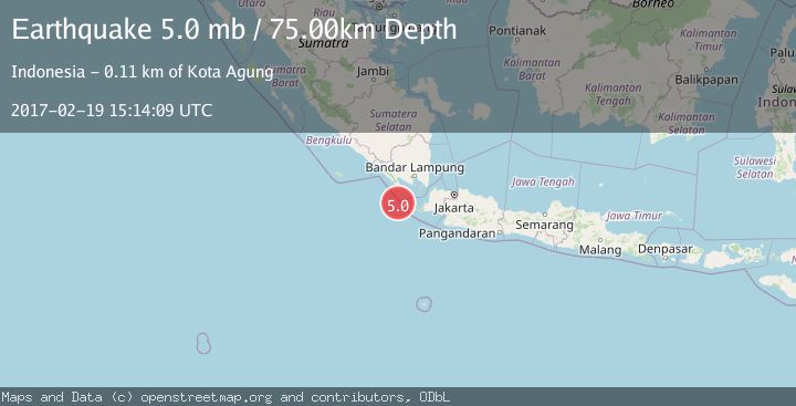
A 5.0 magnitude earthquake struck on SUNDA STRAIT, INDONESIA, at Sun, 19 Feb 2017 15:14:09 GMT. Depth: 75km. Reviewed by EMSC seismologists, this moderate quake occurred at a magnitude type of mb.
Magnitude
5.0
mb
Source
EMSC
Intensity
-
Agency Reports
1 Sources| Source | Magnitude | Depth | Time |
|---|---|---|---|
| EMSCPrimary | 5.0 | 75 km | 9 years ago |
Earthquake Details
AutomaticEvent IDemsc_EMSC_20170219_0000088
Tsunami PotentialNo
Magnitude Typemb
Nearest Places
- Tanjung Cuku Balimbing13.0 km
- Cukuredak Seamount50.7 km
- Ci Panaitan57.4 km
- Legon Mandar57.8 km
- Pulau Waton57.8 km
Comments
Join the discussion about this event.
Latest Earthquakes
1.6Mag
Southern Alaska
Time2 minutes ago
Depth48.58 km
SourceVYT (Automatic)
2.3Mag
Antofagasta, Chile
Time4 minutes ago
Depth82.15 km
SourceVYT (Automatic)
2.1Mag
Southern Alaska
Time6 minutes ago
Depth64.21 km
SourceVYT (Automatic)
2.5Mag
Central Alaska
Time12 minutes ago
Depth312.99 km
SourceVYT (Automatic)
3.6Mag
Banda Sea
Time18 minutes ago
Depth0.00 km
SourceVYT (Automatic)
Nearby Earthquakes
5.1Mag
SUNDA STRAIT, INDONESIA
Time10 years ago
Depth60.00 km
SourceEMSC (Automatic)
4.0Mag
SUNDA STRAIT, INDONESIA
Time5 years ago
Depth10.00 km
SourceDJA (Automatic)
5.0Mag
SUNDA STRAIT, INDONESIA
Time11 years ago
Depth54.00 km
SourceEMSC (Automatic)
4.0Mag
SUNDA STRAIT, INDONESIA
Time10 months ago
Depth10.00 km
SourceBMKG (Automatic)
4.0Mag
SUNDA STRAIT, INDONESIA
Time5 years ago
Depth20.00 km
SourceDJA (Automatic)