Earthquake BANDA SEA
Fri, 18 Aug 2017 21:00:49 GMT
Time8 years ago
Location
-6.2700, 128.0900
Depth
12.0 KM
Event Summary
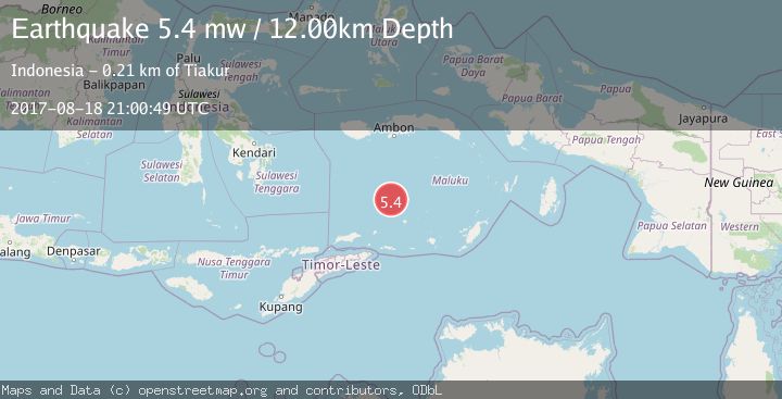
A 5.4 magnitude earthquake struck on BANDA SEA, at Fri, 18 Aug 2017 21:00:49 GMT. Depth: 12km. Reviewed by EMSC seismologists, this moderate quake occurred at a magnitude type of mw.
Magnitude
5.4
mw
Source
EMSC
Intensity
-
Agency Reports
1 Sources| Source | Magnitude | Depth | Time |
|---|---|---|---|
| EMSCPrimary | 5.4 | 12 km | 8 years ago |
Earthquake Details
AutomaticEvent IDemsc_EMSC_20170818_0000122
Tsunami PotentialNo
Magnitude Typemw
Nearest Places
- South Banda Basin70.0 km
- Pulau Mai101.9 km
- Pulau Selatan103.2 km
- Karang Skaro103.7 km
- Pulau Kaurangka104.4 km
Comments
Join the discussion about this event.
Latest Earthquakes
2.1Mag
Southern Alaska
Time4 minutes ago
Depth67.26 km
SourceVYT (Automatic)
2.2Mag
western Russia
Time7 minutes ago
Depth0.00 km
SourceVYT (Automatic)
1.5Mag
4 km NNW of The Geysers, CA
Time8 minutes ago
Depth-0.27 km
SourceUSGS (Automatic)
1.0Mag
9 km WNW of Two Rivers, Alaska
Time8 minutes ago
Depth5.70 km
SourceUSGS (Automatic)
2.9Mag
NORTHERN CALIFORNIA
Time10 minutes ago
Depth0.10 km
SourceNC (Automatic)
Nearby Earthquakes
4.0Mag
BANDA SEA
Time7 years ago
Depth391.00 km
SourceNEIC (Automatic)
5.1Mag
BANDA SEA
Time4 years ago
Depth389.00 km
SourceEMSC (Automatic)
4.0Mag
BANDA SEA
Time3 years ago
Depth391.00 km
SourceEMSC (Automatic)
4.0Mag
BANDA SEA
Time3 years ago
Depth317.00 km
SourceNEIC (Automatic)
4.0Mag
BANDA SEA
Time5 years ago
Depth389.00 km
SourceNEIC (Automatic)