Earthquake MINDANAO, PHILIPPINES
Sun, 12 Jan 2020 10:53:45 GMT
Time6 years ago
Location
9.5100, 126.1800
Depth
38.0 KM
Event Summary
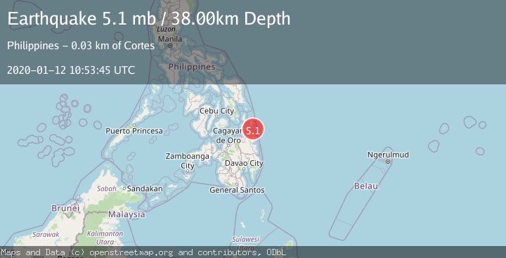
A 5.1 magnitude earthquake struck on MINDANAO, PHILIPPINES, at Sun, 12 Jan 2020 10:53:45 GMT. Depth: 38km. Reviewed by EMSC seismologists, this moderate quake occurred at a magnitude type of mb.
Magnitude
5.1
mb
Source
EMSC
Intensity
-
Agency Reports
1 Sources| Source | Magnitude | Depth | Time |
|---|---|---|---|
| EMSCPrimary | 5.1 | 38 km | 6 years ago |
Earthquake Details
AutomaticEvent IDemsc_EMSC_20200112_0000054
Tsunami PotentialNo
Magnitude Typemb
Nearest Places
- Antokon Island10.5 km
- Mamon Island11.2 km
- Anajauan Island12.0 km
- Whale Rock Island12.7 km
- Lajanosa Island12.9 km
Comments
Join the discussion about this event.
Latest Earthquakes
3.8Mag
near the north coast of Colombia
Time2 minutes ago
Depth0.00 km
SourceVYT (Automatic)
2.6Mag
Minahasa, Sulawesi, Indonesia
Time4 minutes ago
Depth0.00 km
SourceVYT (Automatic)
2.5Mag
TARAPACA, CHILE
Time14 minutes ago
Depth51.40 km
SourceCSN (Automatic)
2.8Mag
Bali Region, Indonesia
Time18 minutes ago
Depth22.77 km
SourceBMKG
2.9Mag
CRETE, GREECE
Time31 minutes ago
Depth13.90 km
SourceNOA (Automatic)
Nearby Earthquakes
5.5Mag
MINDANAO, PHILIPPINES
Time1 year ago
Depth79.70 km
SourceEMSC (Automatic)
1.9Mag
Mindanao, Philippines
Time1 week ago
Depth21.00 km
SourceMAN
5.5Mag
MINDANAO, PHILIPPINES
Time14 years ago
Depth16.00 km
SourceEMSC (Automatic)
3.0Mag
MINDANAO, PHILIPPINES
Time2 years ago
Depth45.00 km
SourcePIVS (Automatic)
1.4Mag
Mindanao, Philippines
Time2 weeks ago
Depth33.00 km
SourceMAN (Automatic)