Earthquake KERMADEC ISLANDS REGION
Tue, 14 Apr 2020 01:06:44 GMT
Time5 years ago
Location
-30.4900, -176.2400
Depth
10.0 KM
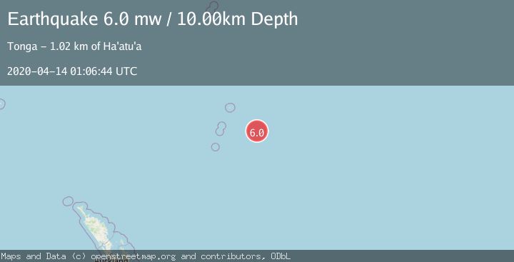
Event Summary
A 6.0 magnitude earthquake struck on KERMADEC ISLANDS REGION, at Tue, 14 Apr 2020 01:06:44 GMT. Depth: 10km. Reviewed by EMSC seismologists, this strong quake occurred at a magnitude type of mw.
Magnitude
6.0
mw
Source
EMSC
Intensity
-
Agency Reports
1 Sources| Source | Magnitude | Depth | Time |
|---|---|---|---|
| EMSCPrimary | 6.0 | 10 km | 5 years ago |
Earthquake Details
AutomaticEvent IDemsc_EMSC_20200414_0000005
Tsunami PotentialNo
Magnitude Typemw
Nearest Places
- 61.2 km
- 91.1 km
- 152.0 km
- 164.9 km
- 190.3 km
Comments
Join the discussion about this event.
Latest Earthquakes
1.1Mag
6 km WNW of The Geysers, CA
Time3 minutes ago
Depth2.84 km
SourceUSGS (Automatic)
1.5Mag
6 km WNW of Cobb, CA
Time6 minutes ago
Depth1.73 km
SourceUSGS (Automatic)
1.7Mag
Kenai Peninsula, Alaska
Time8 minutes ago
Depth35.40 km
SourceVYT (Automatic)
0.8Mag
5 km W of Cobb, CA
Time9 minutes ago
Depth1.09 km
SourceUSGS (Automatic)
2.2Mag
near the coast of Tarapaca, Chile
Time9 minutes ago
Depth26.61 km
SourceVYT (Automatic)
Nearby Earthquakes
5.8Mag
KERMADEC ISLANDS REGION
Time12 years ago
Depth2.00 km
SourceEMSC (Automatic)
6.3Mag
KERMADEC ISLANDS REGION
Time11 years ago
Depth2.00 km
SourceEMSC (Automatic)
5.0Mag
KERMADEC ISLANDS REGION
Time4 years ago
Depth10.00 km
SourceEMSC (Automatic)
5.0Mag
KERMADEC ISLANDS REGION
Time17 years ago
Depth2.00 km
SourceEMSC (Automatic)
5.0Mag
KERMADEC ISLANDS REGION
Time9 years ago
Depth10.00 km
SourceEMSC (Automatic)