Earthquake KERMADEC ISLANDS REGION
Fri, 22 May 2020 21:00:58 GMT
Time6 years ago
Location
-29.5900, 179.0600
Depth
200.0 KM
Event Summary
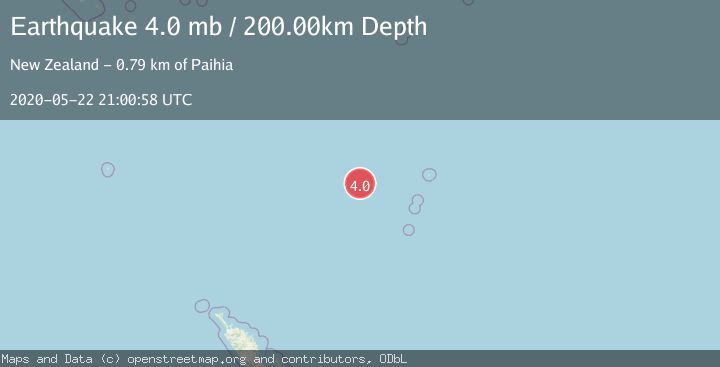
A 4.0 magnitude earthquake struck on KERMADEC ISLANDS REGION, at Fri, 22 May 2020 21:00:58 GMT. Depth: 200km. Reviewed by EMSC seismologists, this light quake occurred at a magnitude type of mb.
Magnitude
4.0
mb
Source
EMSC
Intensity
-
Agency Reports
1 Sources| Source | Magnitude | Depth | Time |
|---|---|---|---|
| EMSCPrimary | 4.0 | 200 km | 6 years ago |
Earthquake Details
AutomaticEvent IDemsc_EMSC_20200522_0000251
QualityS
Tsunami PotentialNo
Magnitude Typemb
Last Update5 months ago
Felt Reports0
Did you feel this earthquake? Report it to help others.
No reports yet
Be the first to report this earthquake!
Latest Earthquakes
Loading...
Nearby Earthquakes
3.9Mag
KERMADEC ISLANDS REGION
Time1 day ago
Depth100.00 km
SourceGNS (Automatic)
3.5Mag
KERMADEC ISLANDS REGION
Time1 day ago
Depth600.00 km
SourceGNS (Automatic)
3.9Mag
KERMADEC ISLANDS REGION
Time3 weeks ago
Depth33.00 km
SourceGNS (Automatic)
4.3Mag
Kermadec Islands region
Time1 month ago
Depth406.01 km
SourceVYT (Automatic)
3.2Mag
KERMADEC ISLANDS REGION
Time4 months ago
Depth598.80 km
SourceGNS (Automatic)