Earthquake SOUTH OF KERMADEC ISLANDS
Tue, 29 Sep 2020 00:17:34 GMT
Time5 years ago
Location
-33.5800, -177.8300
Depth
10.0 KM
Event Summary
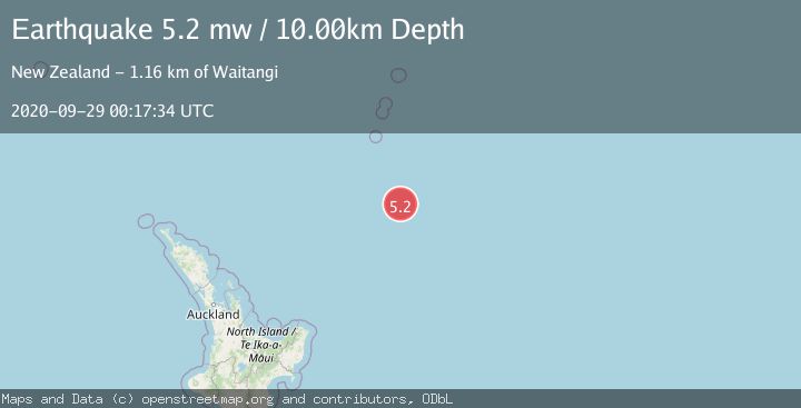
A 5.2 magnitude earthquake struck on SOUTH OF KERMADEC ISLANDS, at Tue, 29 Sep 2020 00:17:34 GMT. Depth: 10km. Reviewed by EMSC seismologists, this moderate quake occurred at a magnitude type of mw.
Magnitude
5.2
mw
Source
EMSC
Intensity
-
Agency Reports
1 Sources| Source | Magnitude | Depth | Time |
|---|---|---|---|
| EMSCPrimary | 5.2 | 10 km | 5 years ago |
Earthquake Details
AutomaticEvent IDemsc_EMSC_20200929_0000003
Tsunami PotentialNo
Magnitude Typemw
Nearest Places
- Ron Brown Ridge143.3 km
- Star of Bengal Bank175.4 km
- Scholl Deep182.5 km
- Walt Murphy Ridge192.0 km
- Haungaroa Seamount199.1 km
Comments
Join the discussion about this event.
Latest Earthquakes
2.7Mag
Alaska Peninsula
Time12 minutes ago
Depth7.08 km
SourceVYT (Automatic)
2.4Mag
HAWAII REGION, HAWAII
Time13 minutes ago
Depth11.20 km
SourceHV (Automatic)
3.1Mag
Potosi, Bolivia
Time18 minutes ago
Depth330.08 km
SourceVYT (Automatic)
1.6Mag
EASTERN TURKEY
Time24 minutes ago
Depth19.50 km
SourceAFAD (Automatic)
1.4Mag
4 km W of Lake Henshaw, CA
Time24 minutes ago
Depth12.20 km
SourceUSGS (Automatic)
Nearby Earthquakes
5.2Mag
SOUTH OF KERMADEC ISLANDS
Time5 years ago
Depth10.00 km
SourceEMSC (Automatic)
5.8Mag
SOUTH OF KERMADEC ISLANDS
Time12 years ago
Depth10.00 km
SourceEMSC (Automatic)
5.1Mag
SOUTH OF KERMADEC ISLANDS
Time7 years ago
Depth10.00 km
SourceEMSC (Automatic)
5.0Mag
SOUTH OF KERMADEC ISLANDS
Time1 year ago
Depth8.70 km
SourceEMSC (Automatic)
5.1Mag
SOUTH OF KERMADEC ISLANDS
Time12 years ago
Depth2.00 km
SourceEMSC (Automatic)