Earthquake TIMOR REGION, INDONESIA
Sat, 12 Dec 2020 15:55:23 GMT
Time5 years ago
Location
-9.0200, 123.3700
Depth
100.0 KM
Event Summary
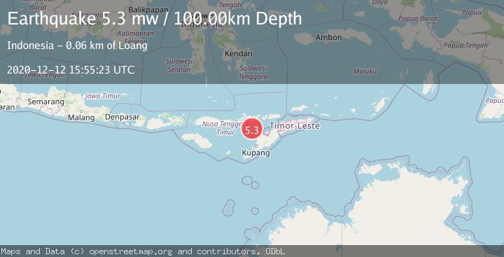
A 5.3 magnitude earthquake struck on TIMOR REGION, INDONESIA, at Sat, 12 Dec 2020 15:55:23 GMT. Depth: 100km. Reviewed by EMSC seismologists, this moderate quake occurred at a magnitude type of mw.
Magnitude
5.3
mw
Source
EMSC
Intensity
-
Agency Reports
1 Sources| Source | Magnitude | Depth | Time |
|---|---|---|---|
| EMSCPrimary | 5.3 | 100 km | 5 years ago |
Earthquake Details
AutomaticEvent IDemsc_EMSC_20201212_0000121
Tsunami PotentialNo
Magnitude Typemw
Nearest Places
- Savu Basin28.8 km
- Nuaf Panmolo41.6 km
- Tanjung Sarang48.4 km
- Tanjung Boler48.4 km
- Teluk Tenauring48.5 km
Comments
Join the discussion about this event.
Latest Earthquakes
1.2Mag
Central Alaska
Time1 hour ago
Depth43.82 km
SourceVYT (Automatic)
1.5Mag
58 km S of Whites City, New Mexico
Time1 hour ago
Depth4.17 km
SourceUSGS (Automatic)
1.3Mag
54 km WNW of Toyah, Texas
Time1 hour ago
Depth0.00 km
SourceUSGS (Automatic)
2.9Mag
Oruro, Bolivia
Time1 hour ago
Depth189.21 km
SourceVYT (Automatic)
3.4Mag
OFF COAST OF COSTA RICA
Time1 hour ago
Depth10.00 km
SourceINET (Automatic)
Nearby Earthquakes
3.0Mag
FLORES REGION, INDONESIA
Time2 years ago
Depth70.00 km
SourceDJA (Automatic)
4.0Mag
FLORES REGION, INDONESIA
Time6 years ago
Depth120.00 km
SourceNEIC (Automatic)
4.0Mag
TIMOR REGION, INDONESIA
Time7 months ago
Depth59.00 km
SourceBMKG (Automatic)
2.1Mag
Flores Region, Indonesia
Time6 days ago
Depth0.71 km
SourceBMKG
3.0Mag
TIMOR REGION, INDONESIA
Time10 months ago
Depth35.00 km
SourceBMKG (Automatic)