Earthquake KERMADEC ISLANDS REGION
Fri, 05 Mar 2021 15:16:46 GMT
Time4 years ago
Location
-29.2100, -176.6900
Depth
10.0 KM
Event Summary
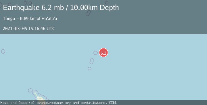
A 6.2 magnitude earthquake struck on KERMADEC ISLANDS REGION, at Fri, 05 Mar 2021 15:16:46 GMT. Depth: 10km. Reviewed by EMSC seismologists, this strong quake occurred at a magnitude type of mb.
Magnitude
6.2
mb
Source
EMSC
Intensity
-
Agency Reports
1 Sources| Source | Magnitude | Depth | Time |
|---|---|---|---|
| EMSCPrimary | 6.2 | 10 km | 4 years ago |
Earthquake Details
AutomaticEvent IDemsc_EMSC_20210305_0000257
Tsunami PotentialNo
Magnitude Typemb
Nearest Places
- 92.8 km
- 109.4 km
- 109.4 km
- 109.4 km
- 111.0 km
Comments
Join the discussion about this event.
Latest Earthquakes
1.6Mag
36 km NW of Toyah, Texas
Time3 minutes ago
Depth6.07 km
SourceUSGS (Automatic)
2.3Mag
South of Java, Indonesia
Time3 minutes ago
Depth9.82 km
SourceBMKG
0.2Mag
5 km NW of The Geysers, CA
Time3 minutes ago
Depth1.50 km
SourceUSGS (Automatic)
2.5Mag
ISLAND OF HAWAII, HAWAII
Time9 minutes ago
Depth31.00 km
SourceHV (Automatic)
2.3Mag
Antofagasta, Chile
Time11 minutes ago
Depth0.00 km
SourceVYT (Automatic)
Nearby Earthquakes
5.1Mag
KERMADEC ISLANDS REGION
Time14 years ago
Depth40.00 km
SourceEMSC (Automatic)
5.0Mag
KERMADEC ISLANDS REGION
Time19 years ago
Depth10.00 km
SourceNEIC (Automatic)
5.5Mag
KERMADEC ISLANDS REGION
Time2 years ago
Depth10.00 km
SourceEMSC (Automatic)
5.3Mag
KERMADEC ISLANDS REGION
Time4 years ago
Depth10.00 km
SourceNEIC (Automatic)
5.1Mag
KERMADEC ISLANDS REGION
Time12 years ago
Depth24.00 km
SourceEMSC (Automatic)