Earthquake KEPULAUAN TALAUD, INDONESIA
Sat, 27 Nov 2021 06:01:53 GMT
Time4 years ago
Location
4.7600, 126.2800
Depth
90.0 KM
Event Summary
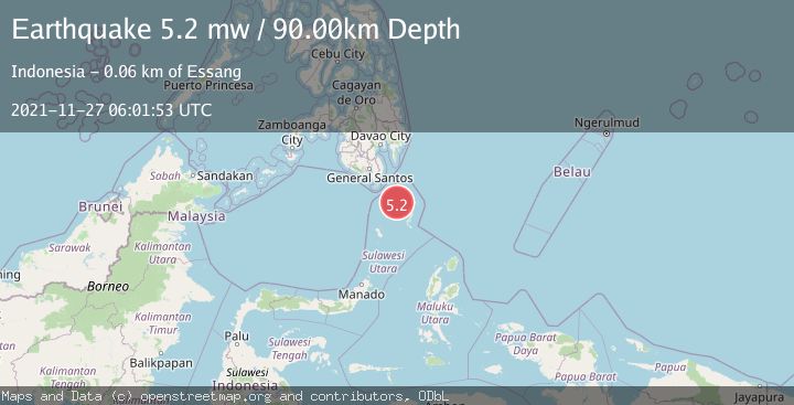
A 5.2 magnitude earthquake struck on KEPULAUAN TALAUD, INDONESIA, at Sat, 27 Nov 2021 06:01:53 GMT. Depth: 90km. Reviewed by EMSC seismologists, this moderate quake occurred at a magnitude type of mw.
Magnitude
5.2
mw
Source
EMSC
Intensity
-
Agency Reports
1 Sources| Source | Magnitude | Depth | Time |
|---|---|---|---|
| EMSCPrimary | 5.2 | 90 km | 4 years ago |
Earthquake Details
AutomaticEvent IDemsc_EMSC_20211127_0000072
Tsunami PotentialNo
Magnitude Typemw
Nearest Places
- Sangihe Trough8.8 km
- Tanjung Alai56.1 km
- Saan56.1 km
- Bulude56.1 km
- Tanjung Ambora56.4 km
Comments
Join the discussion about this event.
Latest Earthquakes
1.0Mag
29 km W of Garden City, Texas
Time4 minutes ago
Depth3.03 km
SourceUSGS (Automatic)
2.1Mag
6 km NE of Beaverdam, Nevada
Time6 minutes ago
Depth11.45 km
SourceUSGS (Automatic)
3.4Mag
NORTH ISLAND OF NEW ZEALAND
Time12 minutes ago
Depth146.90 km
SourceGNS (Automatic)
2.6Mag
WESTERN TURKEY
Time19 minutes ago
Depth7.30 km
SourceKOERI (Automatic)
3.7Mag
YUNNAN, CHINA
Time20 minutes ago
Depth10.00 km
SourceTSB (Automatic)
Nearby Earthquakes
3.0Mag
KEPULAUAN TALAUD, INDONESIA
Time1 year ago
Depth23.00 km
SourcePIVS (Automatic)
3.0Mag
KEPULAUAN TALAUD, INDONESIA
Time2 years ago
Depth9.00 km
SourcePIVS (Automatic)
3.4Mag
KEPULAUAN TALAUD, INDONESIA
Time1 month ago
Depth102.00 km
SourcePIVS (Automatic)
3.0Mag
KEPULAUAN TALAUD, INDONESIA
Time1 year ago
Depth3.00 km
SourcePIVS (Automatic)
3.0Mag
KEPULAUAN TALAUD, INDONESIA
Time2 years ago
Depth5.00 km
SourcePIVS (Automatic)