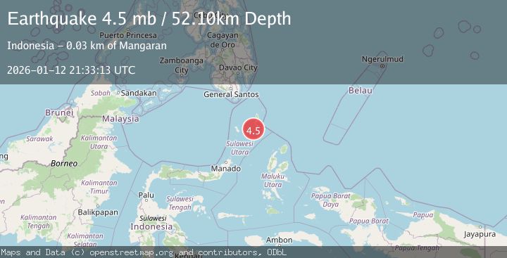
Earthquake KEPULAUAN TALAUD, INDONESIA
Mon, 12 Jan 2026 21:33:13 GMT
Time1 month ago
Location
3.6006, 126.5781
Depth
52.1 KM
Event Summary
A 4.5 magnitude earthquake struck on KEPULAUAN TALAUD, INDONESIA, at Mon, 12 Jan 2026 21:33:13 GMT. Depth: 52.1km. Reviewed by EMSC seismologists, this light quake occurred at a magnitude type of mb.
Magnitude
4.5
mb
Source
EMSC
Intensity
-
Agency Reports
1 Sources| Source | Magnitude | Depth | Time |
|---|---|---|---|
| EMSCPrimary | 4.5 | 52 km | 1 month ago |
Earthquake Details
AutomaticEvent IDemsc_EMSC_20260112_0000324
Tsunami PotentialNo
Magnitude Typemb
Nearest Places
- Tanjung Toade26.4 km
- Tanjung Lalawang26.6 km
- Desa Bitunuris Selatan27.7 km
- Pangeran28.1 km
- Tanjung Panii28.3 km
Comments
Join the discussion about this event.
Latest Earthquakes
1.8Mag
Southeastern Alaska
Time1 minute ago
Depth0.00 km
SourceVYT (Automatic)
2.1Mag
northern Alaska
Time2 minutes ago
Depth206.30 km
SourceVYT (Automatic)
2.7Mag
Alaska Peninsula
Time14 minutes ago
Depth7.08 km
SourceVYT (Automatic)
2.4Mag
HAWAII REGION, HAWAII
Time15 minutes ago
Depth11.20 km
SourceHV (Automatic)
3.1Mag
Potosi, Bolivia
Time19 minutes ago
Depth330.08 km
SourceVYT (Automatic)
Nearby Earthquakes
5.1Mag
KEPULAUAN TALAUD, INDONESIA
Time19 years ago
Depth88.00 km
SourceEMSC (Automatic)
5.2Mag
KEPULAUAN TALAUD, INDONESIA
Time15 years ago
Depth70.00 km
SourceEMSC (Automatic)
6.0Mag
KEPULAUAN TALAUD, INDONESIA
Time3 years ago
Depth54.00 km
SourceEMSC (Automatic)
5.3Mag
KEPULAUAN TALAUD, INDONESIA
Time15 years ago
Depth60.00 km
SourceEMSC (Automatic)
4.0Mag
KEPULAUAN TALAUD, INDONESIA
Time7 years ago
Depth10.00 km
SourceDJA (Automatic)