Earthquake TURKEY-SYRIA BORDER REGION
Wed, 14 Jan 2026 17:27:05 GMT
Time1 month ago
Location
36.1691, 36.0076
Depth
11.4 KM
Event Summary
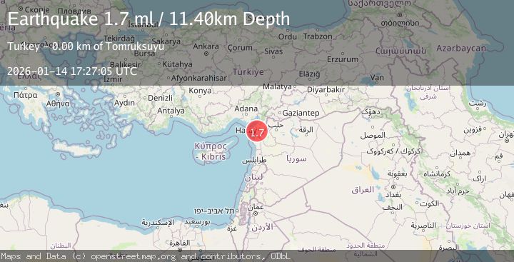
A 1.7 magnitude earthquake struck on TURKEY-SYRIA BORDER REGION, at Wed, 14 Jan 2026 17:27:05 GMT. Depth: 11.4km. Reviewed by EMSC seismologists, this minor quake occurred at a magnitude type of ml.
Magnitude
1.7
ml
Source
EMSC
Intensity
-
Agency Reports
1 Sources| Source | Magnitude | Depth | Time |
|---|---|---|---|
| EMSCPrimary | 1.7 | 11 km | 1 month ago |
Earthquake Details
AutomaticEvent IDemsc_EMSC_20260114_0000240
Tsunami PotentialNo
Magnitude Typeml
Nearest Places
- 0.9 km
- 1.0 km
- 1.6 km
- 1.7 km
- 1.9 km
Comments
Join the discussion about this event.
Latest Earthquakes
1.3Mag
western Texas
Time5 minutes ago
Depth9.40 km
SourceVYT (Automatic)
1.9Mag
20 km SE of Pāhala, Hawaii
Time5 minutes ago
Depth34.14 km
SourceUSGS (Automatic)
3.0Mag
Southeastern Alaska
Time5 minutes ago
Depth2.44 km
SourceVYT (Automatic)
3.0Mag
OFFSHORE ATACAMA, CHILE
Time13 minutes ago
Depth25.10 km
SourceCSN (Automatic)
1.6Mag
Southeastern Alaska
Time16 minutes ago
Depth14.53 km
SourceVYT (Automatic)
Nearby Earthquakes
3.6Mag
TURKEY-SYRIA BORDER REGION
Time1 month ago
Depth7.70 km
SourceAFAD (Automatic)
4.0Mag
TURKEY-SYRIA BORDER REGION
Time2 years ago
Depth10.00 km
SourceEMSC (Automatic)
4.0Mag
TURKEY-SYRIA BORDER REGION
Time3 years ago
Depth10.00 km
SourceEMSC (Automatic)
3.0Mag
TURKEY-SYRIA BORDER REGION
Time7 years ago
Depth8.00 km
SourceISK (Automatic)
3.0Mag
TURKEY-SYRIA BORDER REGION
Time4 months ago
Depth14.10 km
SourceEMSC (Automatic)