Earthquake NEAR EAST COAST OF KAMCHATKA
Fri, 16 Jan 2026 23:22:24 GMT
Time3 months ago
Location
56.3382, 163.3819
Depth
30.0 KM
Event Summary
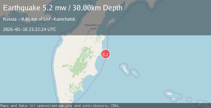
A 5.2 magnitude earthquake struck on NEAR EAST COAST OF KAMCHATKA, at Fri, 16 Jan 2026 23:22:24 GMT. Depth: 30km. Reviewed by EMSC seismologists, this moderate quake occurred at a magnitude type of mw.
Magnitude
5.2
mw
Source
EMSC
Intensity
IV
Agency Reports
1 Sources| Source | Magnitude | Depth | Time |
|---|---|---|---|
| EMSCPrimary | 5.2 | 30 km | 3 months ago |
Earthquake Details
AutomaticEvent IDemsc_EMSC_20260116_0000386
QualityS
Tsunami PotentialNo
Magnitude Typemw
Last Update2 months ago
Felt Reports0
Did you feel this earthquake? Report it to help others.
No reports yet
Be the first to report this earthquake!
Latest Earthquakes
Loading...
Nearby Earthquakes
4.3Mag
OFF EAST COAST OF KAMCHATKA
Time3 weeks ago
Depth60.00 km
SourceGSRAS (Automatic)
4.3Mag
NEAR EAST COAST OF KAMCHATKA
Time3 weeks ago
Depth10.00 km
SourceGSRAS (Automatic)
4.5Mag
NEAR EAST COAST OF KAMCHATKA
Time3 months ago
Depth65.10 km
SourceNEIC (Automatic)
4.8Mag
NEAR EAST COAST OF KAMCHATKA
Time3 months ago
Depth23.00 km
SourceEMSC (Automatic)
4.5Mag
NEAR EAST COAST OF KAMCHATKA
Time4 months ago
Depth10.00 km
SourceGSRAS (Automatic)