Earthquake MYANMAR
Fri, 06 Feb 2026 00:33:07 GMT
Time1 month ago
Location
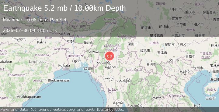
23.5570, 95.0670
Depth
10.0 KM
Event Summary
A 5.0 magnitude earthquake struck on MYANMAR, at Fri, 06 Feb 2026 00:33:07 GMT. Depth: 10km. Reviewed by GFZ seismologists, this moderate quake occurred at a magnitude type of mb.
Magnitude
5.0
mb
Source
GFZ
Intensity
III
Agency Reports
3 Sources| Source | Magnitude | Depth | Time |
|---|---|---|---|
| GFZPrimary | 5.0 | 10 km | 1 month ago |
| EMSC | 5.2 | 10 km | 1 month ago |
| USGS | 5.2 | 10 km | 1 month ago |
Earthquake Details
AutomaticEvent IDemsc_GFZ_20260206_0000013
QualityS
Tsunami PotentialNo
Magnitude Typemb
Last Update1 month ago
Nearest Places
Possibly felt by: 384.7K
- IIIMawlaik68.1 km44.5K people
- IIShwebo127.4 km88.9K people
- 131.2 km
- IIChandel138.1 km
- IIKakching152.0 km30.4K people
- IIWāngjing153.4 km7.5K people
- IIKamjong155.2 km
- IIFalam159.0 km5.4K people
- IIMonywa161.2 km182K people
- IIYairipok162.0 km8.8K people
- IIThoubāl162.1 km44.5K people
- IIMogok163.7 km90.8K people
- 166.2 km47.8K people
- 167.4 km22.2K people
- IIMoirāng167.6 km17.1K people
- 178.2 km
- 179.8 km223.5K people
- 180.2 km20K people
- 191.5 km
- 198.8 km2.5K people
- 204.5 km1.2M people
- 206.4 km
- 208.8 km78.7K people
- 209.3 km
- 209.7 km3.5K people
- 214.4 km
- 221.2 km117.3K people
- 223.8 km4K people
- 228.0 km
- 228.4 km20.2K people
- 233.4 km47.9K people
- 235.5 km141.7K people
- 237.9 km6K people
- 240.0 km265.3K people
- 241.2 km
- IPhek241.5 km15.1K people
- 243.1 km50.5K people
- 244.1 km22.7K people
- 246.4 km
- 247.1 km126.9K people
- 247.5 km5.8K people
- 248.8 km52.7K people
- 249.9 km12.9K people
- 253.9 km25K people
- 254.5 km92.1K people
- 257.8 km11K people
- 265.5 km6.1K people
- 268.0 km7.2K people
- 270.0 km152.4K people
- ILāla272.4 km10.9K people
- 273.6 km29.5K people
- 274.0 km40K people
- 275.2 km8.4K people
- 282.7 km131K people
- 283.5 km31K people
- 286.9 km53.4K people
Felt Reports0
Did you feel this earthquake? Report it to help others.
No reports yet
Be the first to report this earthquake!
Latest Earthquakes
Loading...
Nearby Earthquakes
3.1Mag
MYANMAR
Time1 week ago
Depth17.00 km
SourceNDI (Automatic)
4.5Mag
MYANMAR
Time1 week ago
Depth88.90 km
SourceNEIC (Automatic)
2.9Mag
MYANMAR
Time2 weeks ago
Depth85.60 km
SourceNDI (Automatic)
4.0Mag
MYANMAR
Time3 weeks ago
Depth100.00 km
SourceNDI (Automatic)
3.5Mag
MYANMAR
Time1 month ago
Depth50.00 km
SourceNDI (Automatic)