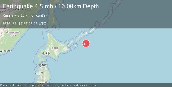
Earthquake EAST OF KURIL ISLANDS
Tue, 17 Feb 2026 07:25:16 GMT
Time3 months ago
Location
43.9680, 148.9320
Depth
10.0 KM
Event Summary
A 4.8 magnitude earthquake struck on EAST OF KURIL ISLANDS, at Tue, 17 Feb 2026 07:25:16 GMT. Depth: 10km. Reviewed by GFZ seismologists, this light quake occurred at a magnitude type of mb.
Magnitude
4.8
mb
Source
GFZ
Intensity
I
Agency Reports
4 Sources| Source | Magnitude | Depth | Time |
|---|---|---|---|
| GFZPrimary | 4.8 | 10 km | 3 months ago |
| NEIC | 4.3 | 10 km | 3 months ago |
| GSRAS | 4.3 | 33 km | 3 months ago |
| EMSC | 4.5 | 10 km | 3 months ago |
Earthquake Details
AutomaticEvent IDemsc_GFZ_20260217_0000120
QualityS
Tsunami PotentialNo
Magnitude Typemb
Last Update3 months ago
Nearest Places
Possibly felt by: 1.1K
- 163.0 km1.6K people
- 178.1 km2.1K people
- 245.5 km3.2K people
- 245.7 km7.8K people
Felt Reports0
Did you feel this earthquake? Report it to help others.
No reports yet
Be the first to report this earthquake!
Latest Earthquakes
Loading...
Nearby Earthquakes
3.9Mag
Kuril Islands
Time1 week ago
Depth195.80 km
SourceVYT (Automatic)
4.6Mag
172 km SE of Kuril’sk, Russia
Time1 month ago
Depth64.80 km
SourceUSGS (Automatic)
4.3Mag
KURIL ISLANDS
Time1 month ago
Depth35.00 km
SourceNEIC (Automatic)
4.8Mag
KURIL ISLANDS
Time1 month ago
Depth39.70 km
SourceGFZ (Automatic)
4.2Mag
EAST OF KURIL ISLANDS
Time1 month ago
Depth15.80 km
SourceNEIC (Automatic)