Earthquake NORTH ISLAND OF NEW ZEALAND
Sat, 12 Aug 2017 18:16:44 GMT
Time8 years ago
Location
-37.2000, 175.9400
Depth
52.0 KM
Event Summary
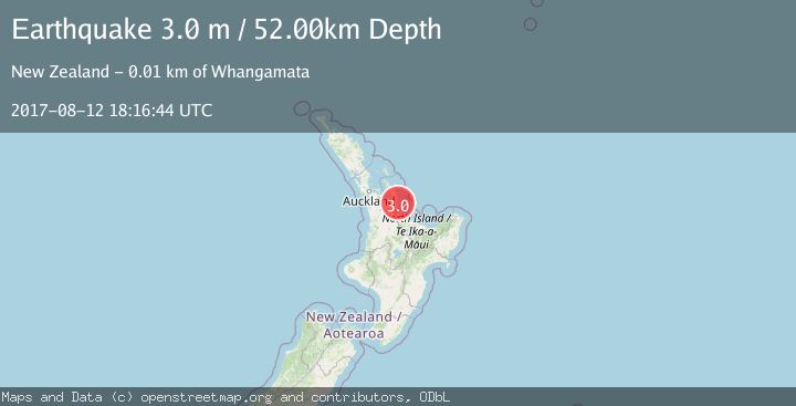
A 3.0 magnitude earthquake struck on NORTH ISLAND OF NEW ZEALAND, at Sat, 12 Aug 2017 18:16:44 GMT. Depth: 52km. Reviewed by GNS seismologists, this minor quake occurred at a magnitude type of m.
Magnitude
3.0
m
Source
GNS
Intensity
-
Agency Reports
1 Sources| Source | Magnitude | Depth | Time |
|---|---|---|---|
| GNSPrimary | 3.0 | 52 km | 8 years ago |
Earthquake Details
AutomaticEvent IDemsc_GNS_20170812_0000132
Tsunami PotentialNo
Magnitude Typem
Nearest Places
- Motukaramuramu3.5 km
- Rawengaiti Island4.1 km
- Patuhamo Point4.6 km
- Maukaha Rocks4.8 km
- Whenuakura Island4.8 km
Comments
Join the discussion about this event.
Latest Earthquakes
0.6Mag
12 km SE of Anza, CA
Time9 minutes ago
Depth6.49 km
SourceUSGS (Automatic)
2.6Mag
western Texas
Time11 minutes ago
Depth12.70 km
SourceVYT (Automatic)
2.0Mag
Sumbawa Region, Indonesia
Time12 minutes ago
Depth21.49 km
SourceBMKG
1.0Mag
Southern Alaska
Time12 minutes ago
Depth1.34 km
SourceVYT (Automatic)
1.7Mag
Dead Sea region
Time14 minutes ago
Depth0.00 km
SourceVYT (Automatic)
Nearby Earthquakes
3.0Mag
NORTH ISLAND OF NEW ZEALAND
Time1 year ago
Depth164.60 km
SourceGNS (Automatic)
3.0Mag
NORTH ISLAND OF NEW ZEALAND
Time1 year ago
Depth134.20 km
SourceGNS (Automatic)
3.0Mag
NORTH ISLAND OF NEW ZEALAND
Time4 years ago
Depth93.00 km
SourceGNS (Automatic)
3.0Mag
NORTH ISLAND OF NEW ZEALAND
Time2 years ago
Depth52.00 km
SourceGNS (Automatic)
3.0Mag
OFF E. COAST OF N. ISLAND, N.Z.
Time3 years ago
Depth12.00 km
SourceGNS (Automatic)