Earthquake SOUTH OF KERMADEC ISLANDS
Sat, 22 Feb 2020 02:08:01 GMT
Time6 years ago
Location
-32.1900, 179.2700
Depth
367.0 KM
Event Summary
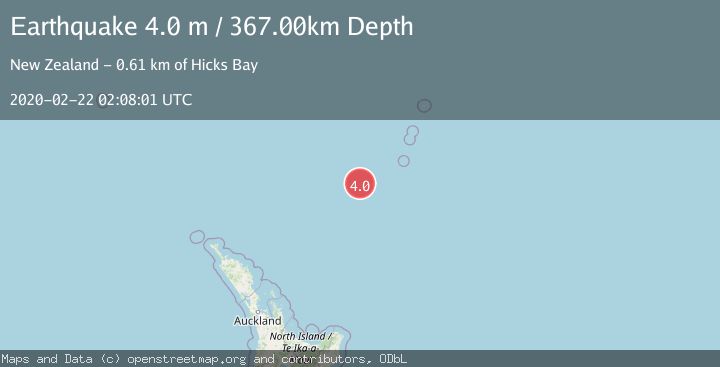
A 4.0 magnitude earthquake struck on SOUTH OF KERMADEC ISLANDS, at Sat, 22 Feb 2020 02:08:01 GMT. Depth: 367km. Reviewed by GNS seismologists, this light quake occurred at a magnitude type of m.
Magnitude
4.0
m
Source
GNS
Intensity
-
Agency Reports
1 Sources| Source | Magnitude | Depth | Time |
|---|---|---|---|
| GNSPrimary | 4.0 | 367 km | 6 years ago |
Earthquake Details
AutomaticEvent IDemsc_GNS_20200222_0000014
Tsunami PotentialNo
Magnitude Typem
Nearest Places
- Oliver Knoll102.0 km
- Speight Knoll109.5 km
- Haungaroa Seamount113.5 km
- Kuiwai Seamount132.2 km
- Havre Trough139.2 km
Comments
Join the discussion about this event.
Latest Earthquakes
1.8Mag
western Texas
Time1 minute ago
Depth0.00 km
SourceVYT (Automatic)
1.1Mag
10 km WNW of The Geysers, CA
Time5 minutes ago
Depth2.07 km
SourceUSGS (Automatic)
1.6Mag
Southern Alaska
Time9 minutes ago
Depth0.12 km
SourceVYT (Automatic)
1.5Mag
Southeastern Alaska
Time12 minutes ago
Depth13.67 km
SourceVYT (Automatic)
4.8Mag
offshore Coquimbo, Chile
Time15 minutes ago
Depth0.00 km
SourceVYT (Automatic)
Nearby Earthquakes
4.0Mag
SOUTH OF KERMADEC ISLANDS
Time1 year ago
Depth454.60 km
SourceGNS (Automatic)
4.0Mag
SOUTH OF KERMADEC ISLANDS
Time4 years ago
Depth142.00 km
SourceGNS (Automatic)
4.0Mag
SOUTH OF KERMADEC ISLANDS
Time3 years ago
Depth271.00 km
SourceGNS (Automatic)
4.0Mag
SOUTH OF KERMADEC ISLANDS
Time2 years ago
Depth360.10 km
SourceGNS (Automatic)
3.0Mag
SOUTH OF KERMADEC ISLANDS
Time2 years ago
Depth500.00 km
SourceGNS (Automatic)