Earthquake SOUTH OF KERMADEC ISLANDS
Mon, 11 May 2020 10:26:56 GMT
Time5 years ago
Location
-32.5900, 179.0500
Depth
493.0 KM
Event Summary
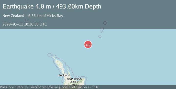
A 4.0 magnitude earthquake struck on SOUTH OF KERMADEC ISLANDS, at Mon, 11 May 2020 10:26:56 GMT. Depth: 493km. Reviewed by GNS seismologists, this light quake occurred at a magnitude type of m.
Magnitude
4.0
m
Source
GNS
Intensity
-
Agency Reports
1 Sources| Source | Magnitude | Depth | Time |
|---|---|---|---|
| GNSPrimary | 4.0 | 493 km | 5 years ago |
Earthquake Details
AutomaticEvent IDemsc_GNS_20200511_0000220
Tsunami PotentialNo
Magnitude Typem
Nearest Places
- Kuiwai Seamount115.4 km
- Oliver Knoll121.8 km
- Haungaroa Seamount123.3 km
- Speight Knoll129.6 km
- Ngātoroirangi Seamount145.1 km
Comments
Join the discussion about this event.
Latest Earthquakes
2.1Mag
Minahassa Peninsula, Sulawesi
Time6 minutes ago
Depth5.34 km
SourceBMKG
2.1Mag
Tarapaca, Chile
Time6 minutes ago
Depth0.00 km
SourceVYT (Automatic)
0.6Mag
Northern Territory, Australia
Time8 minutes ago
Depth0.00 km
SourceVYT (Automatic)
2.1Mag
near the coast of Tarapaca, Chile
Time8 minutes ago
Depth24.41 km
SourceVYT (Automatic)
2.0Mag
EASTERN TURKEY
Time12 minutes ago
Depth5.40 km
SourceKOERI (Automatic)
Nearby Earthquakes
4.0Mag
SOUTH OF KERMADEC ISLANDS
Time4 years ago
Depth415.00 km
SourceGNS (Automatic)
4.0Mag
SOUTH OF KERMADEC ISLANDS
Time4 years ago
Depth589.00 km
SourceGNS (Automatic)
3.0Mag
SOUTH OF KERMADEC ISLANDS
Time9 months ago
Depth407.60 km
SourceGNS (Automatic)
4.0Mag
SOUTH OF KERMADEC ISLANDS
Time10 months ago
Depth600.00 km
SourceGNS (Automatic)
4.0Mag
SOUTH OF KERMADEC ISLANDS
Time6 months ago
Depth600.00 km
SourceGNS (Automatic)