Earthquake SOUTH OF KERMADEC ISLANDS
Tue, 19 May 2020 01:25:10 GMT
Time5 years ago
Location
-33.7800, 179.6400
Depth
281.0 KM
Event Summary
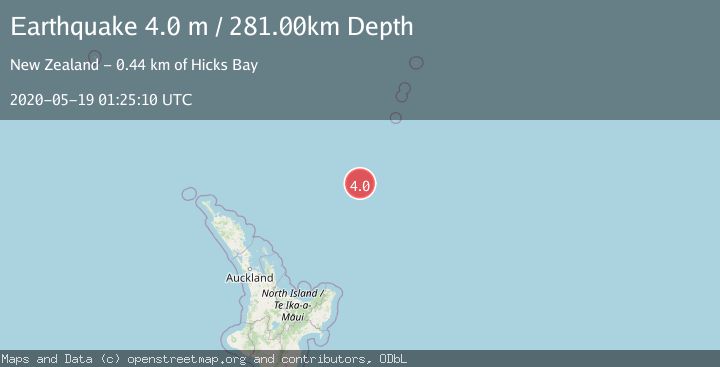
A 4.0 magnitude earthquake struck on SOUTH OF KERMADEC ISLANDS, at Tue, 19 May 2020 01:25:10 GMT. Depth: 281km. Reviewed by GNS seismologists, this light quake occurred at a magnitude type of m.
Magnitude
4.0
m
Source
GNS
Intensity
-
Agency Reports
1 Sources| Source | Magnitude | Depth | Time |
|---|---|---|---|
| GNSPrimary | 4.0 | 281 km | 5 years ago |
Earthquake Details
AutomaticEvent IDemsc_GNS_20200519_0000014
Tsunami PotentialNo
Magnitude Typem
Nearest Places
- Ngātoroirangi Seamount15.3 km
- Kuiwai Seamount79.6 km
- Kibblewhite Seamount97.0 km
- Brothers Seamount132.8 km
- Haungaroa Seamount145.6 km
Comments
Join the discussion about this event.
Latest Earthquakes
3.8Mag
near the north coast of Colombia
Time4 minutes ago
Depth0.00 km
SourceVYT (Automatic)
2.6Mag
Minahasa, Sulawesi, Indonesia
Time5 minutes ago
Depth0.00 km
SourceVYT (Automatic)
2.5Mag
TARAPACA, CHILE
Time16 minutes ago
Depth51.40 km
SourceCSN (Automatic)
2.8Mag
Bali Region, Indonesia
Time20 minutes ago
Depth22.77 km
SourceBMKG
2.9Mag
CRETE, GREECE
Time33 minutes ago
Depth13.90 km
SourceNOA (Automatic)
Nearby Earthquakes
5.2Mag
SOUTH OF KERMADEC ISLANDS
Time17 years ago
Depth150.00 km
SourceEMSC (Automatic)
5.3Mag
SOUTH OF KERMADEC ISLANDS
Time4 years ago
Depth10.00 km
SourceEMSC (Automatic)
6.1Mag
SOUTH OF KERMADEC ISLANDS
Time4 years ago
Depth10.00 km
SourceEMSC (Automatic)
5.2Mag
SOUTH OF KERMADEC ISLANDS
Time4 years ago
Depth10.00 km
SourceEMSC (Automatic)
4.0Mag
SOUTH OF KERMADEC ISLANDS
Time4 years ago
Depth207.00 km
SourceGNS (Automatic)