Earthquake SOUTH OF KERMADEC ISLANDS
Fri, 27 Nov 2020 04:48:50 GMT
Time5 years ago
Location
-32.2500, 178.0600
Depth
269.0 KM
Event Summary
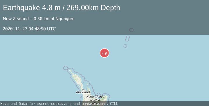
A 4.0 magnitude earthquake struck on SOUTH OF KERMADEC ISLANDS, at Fri, 27 Nov 2020 04:48:50 GMT. Depth: 269km. Reviewed by GNS seismologists, this light quake occurred at a magnitude type of m.
Magnitude
4.0
m
Source
GNS
Intensity
-
Agency Reports
1 Sources| Source | Magnitude | Depth | Time |
|---|---|---|---|
| GNSPrimary | 4.0 | 269 km | 5 years ago |
Earthquake Details
AutomaticEvent IDemsc_GNS_20201127_0000033
QualityS
Tsunami PotentialNo
Magnitude Typem
Last Update1 month ago
Felt Reports0
Did you feel this earthquake? Report it to help others.
No reports yet
Be the first to report this earthquake!
Latest Earthquakes
Loading...
Nearby Earthquakes
3.7Mag
south of the Kermadec Islands
Time1 week ago
Depth403.32 km
SourceVYT (Automatic)
3.5Mag
NORTH OF NEW ZEALAND
Time2 weeks ago
Depth319.00 km
SourceGNS (Automatic)
3.9Mag
SOUTH OF KERMADEC ISLANDS
Time3 months ago
Depth644.50 km
SourceGNS (Automatic)
4.0Mag
SOUTH OF KERMADEC ISLANDS
Time8 months ago
Depth600.00 km
SourceGNS (Automatic)
3.0Mag
SOUTH OF KERMADEC ISLANDS
Time11 months ago
Depth407.60 km
SourceGNS (Automatic)