Earthquake KERMADEC ISLANDS REGION
Sat, 24 Apr 2021 23:46:47 GMT
Time4 years ago
Location
-31.1000, 178.9300
Depth
404.0 KM
Event Summary
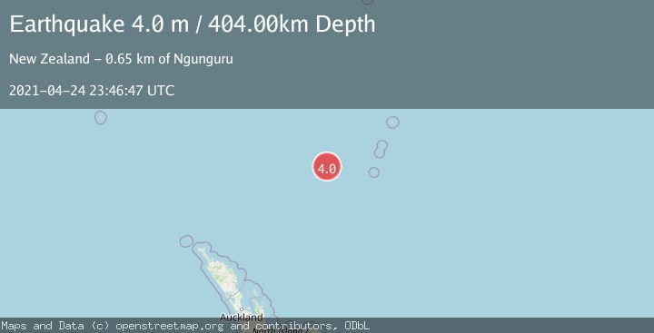
A 4.0 magnitude earthquake struck on KERMADEC ISLANDS REGION, at Sat, 24 Apr 2021 23:46:47 GMT. Depth: 404km. Reviewed by GNS seismologists, this light quake occurred at a magnitude type of m.
Magnitude
4.0
m
Source
GNS
Intensity
-
Agency Reports
1 Sources| Source | Magnitude | Depth | Time |
|---|---|---|---|
| GNSPrimary | 4.0 | 404 km | 4 years ago |
Earthquake Details
AutomaticEvent IDemsc_GNS_20210424_0000205
QualityS
Tsunami PotentialNo
Magnitude Typem
Last Update1 month ago
Felt Reports0
Did you feel this earthquake? Report it to help others.
No reports yet
Be the first to report this earthquake!
Latest Earthquakes
Loading...
Nearby Earthquakes
3.4Mag
Kermadec Islands region
Time3 weeks ago
Depth663.09 km
SourceVYT (Automatic)
3.0Mag
KERMADEC ISLANDS REGION
Time1 month ago
Depth300.00 km
SourceGNS (Automatic)
3.4Mag
KERMADEC ISLANDS REGION
Time1 month ago
Depth407.90 km
SourceGNS (Automatic)
3.1Mag
KERMADEC ISLANDS REGION
Time3 months ago
Depth600.00 km
SourceGNS (Automatic)
3.0Mag
KERMADEC ISLANDS REGION
Time1 year ago
Depth425.40 km
SourceGNS (Automatic)