Earthquake SOUTH OF KERMADEC ISLANDS
Sat, 07 Feb 2026 21:40:38 GMT
Time1 week ago
Location
-34.4870, 179.2899
Depth
211.8 KM
Event Summary
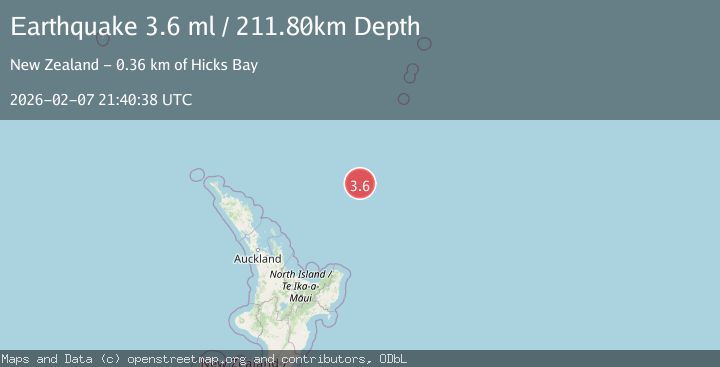
A 3.6 magnitude earthquake struck on SOUTH OF KERMADEC ISLANDS, at Sat, 07 Feb 2026 21:40:38 GMT. Depth: 211.8km. Reviewed by GNS seismologists, this minor quake occurred at a magnitude type of ml.
Magnitude
3.6
ml
Source
GNS
Intensity
-
Agency Reports
1 Sources| Source | Magnitude | Depth | Time |
|---|---|---|---|
| GNSPrimary | 3.6 | 212 km | 1 week ago |
Earthquake Details
AutomaticEvent IDemsc_GNS_20260207_0000300
Tsunami PotentialNo
Magnitude Typeml
Nearest Places
- Kibblewhite Seamount12.3 km
- Brothers Seamount47.9 km
- James Healy Seamount61.6 km
- Cotton Seamount69.1 km
- Giljanes Seamount72.5 km
Comments
Join the discussion about this event.
Latest Earthquakes
1.3Mag
Southern Alaska
Time7 minutes ago
Depth0.00 km
SourceVYT (Automatic)
1.2Mag
Central Alaska
Time12 minutes ago
Depth32.71 km
SourceVYT (Automatic)
2.5Mag
WESTERN TURKEY
Time12 minutes ago
Depth9.20 km
SourceKOERI (Automatic)
2.4Mag
DODECANESE IS.-TURKEY BORDER REG
Time14 minutes ago
Depth8.10 km
SourceKOERI (Automatic)
1.5Mag
western Texas
Time16 minutes ago
Depth0.24 km
SourceVYT (Automatic)
Nearby Earthquakes
4.0Mag
SOUTH OF KERMADEC ISLANDS
Time11 months ago
Depth143.40 km
SourceGNS (Automatic)
4.0Mag
SOUTH OF KERMADEC ISLANDS
Time3 years ago
Depth327.00 km
SourceGNS (Automatic)
5.6Mag
SOUTH OF KERMADEC ISLANDS
Time13 years ago
Depth2.00 km
SourceEMSC (Automatic)
4.0Mag
SOUTH OF KERMADEC ISLANDS
Time8 months ago
Depth231.50 km
SourceGNS (Automatic)
4.0Mag
SOUTH OF KERMADEC ISLANDS
Time3 years ago
Depth222.00 km
SourceGNS (Automatic)