Earthquake SOUTH OF KERMADEC ISLANDS
Mon, 16 Feb 2026 16:06:34 GMT
Time3 days ago
Location
-33.8680, 179.4521
Depth
253.3 KM
Event Summary
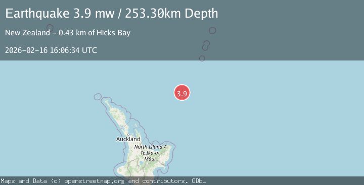
A 3.9 magnitude earthquake struck on SOUTH OF KERMADEC ISLANDS, at Mon, 16 Feb 2026 16:06:34 GMT. Depth: 253.3km. Reviewed by GNS seismologists, this minor quake occurred at a magnitude type of mw.
Magnitude
3.9
mw
Source
GNS
Intensity
-
Agency Reports
1 Sources| Source | Magnitude | Depth | Time |
|---|---|---|---|
| GNSPrimary | 3.9 | 253 km | 3 days ago |
Earthquake Details
AutomaticEvent IDemsc_GNS_20260216_0000231
Tsunami PotentialNo
Magnitude Typemw
Nearest Places
- Ngātoroirangi Seamount35.1 km
- Kibblewhite Seamount82.8 km
- Kuiwai Seamount97.5 km
- Brothers Seamount117.5 km
- Giljanes Seamount128.8 km
Comments
Join the discussion about this event.
Latest Earthquakes
1.5Mag
Tarapaca, Chile
Time20 hours ago
Depth32.84 km
SourceVYT (Automatic)
2.4Mag
Potosi, Bolivia
Time20 hours ago
Depth239.01 km
SourceVYT (Automatic)
2.3Mag
Minahassa Peninsula, Sulawesi
Time20 hours ago
Depth146.04 km
SourceBMKG
1.3Mag
29 km W of Garden City, Texas
Time20 hours ago
Depth3.35 km
SourceUSGS (Automatic)
2.1Mag
6 km NE of Beaverdam, Nevada
Time21 hours ago
Depth11.45 km
SourceUSGS (Automatic)
Nearby Earthquakes
4.0Mag
SOUTH OF KERMADEC ISLANDS
Time4 months ago
Depth138.90 km
SourceNEIC (Automatic)
4.0Mag
SOUTH OF KERMADEC ISLANDS
Time4 years ago
Depth207.00 km
SourceGNS (Automatic)
4.0Mag
SOUTH OF KERMADEC ISLANDS
Time3 years ago
Depth300.00 km
SourceGNS (Automatic)
4.0Mag
SOUTH OF KERMADEC ISLANDS
Time4 years ago
Depth33.00 km
SourceGNS (Automatic)
5.3Mag
SOUTH OF KERMADEC ISLANDS
Time4 years ago
Depth10.00 km
SourceEMSC (Automatic)