Earthquake NORTH ISLAND OF NEW ZEALAND
Tue, 17 Feb 2026 10:56:01 GMT
Time1 day ago
Location
-39.6634, 176.9532
Depth
43.7 KM
Event Summary
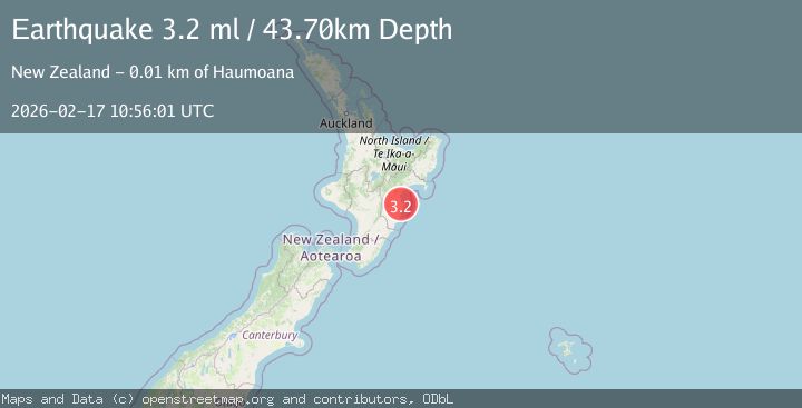
A 3.2 magnitude earthquake struck on NORTH ISLAND OF NEW ZEALAND, at Tue, 17 Feb 2026 10:56:01 GMT. Depth: 43.7km. Reviewed by GNS seismologists, this minor quake occurred at a magnitude type of ml.
Magnitude
3.2
ml
Source
GNS
Intensity
-
Agency Reports
1 Sources| Source | Magnitude | Depth | Time |
|---|---|---|---|
| GNSPrimary | 3.2 | 44 km | 1 day ago |
Earthquake Details
AutomaticEvent IDemsc_GNS_20260217_0000173
Tsunami PotentialNo
Magnitude Typeml
Nearest Places
- Tuki Tuki2.0 km
- Waiana2.0 km
- Millar Road2.3 km
- Longridge2.6 km
- Tukituki2.8 km
Comments
Join the discussion about this event.
Latest Earthquakes
3.0Mag
Java, Indonesia
Time3 minutes ago
Depth29.78 km
SourceBMKG
2.4Mag
Finland-Russia border region
Time4 minutes ago
Depth341.92 km
SourceVYT (Automatic)
0.9Mag
8 km W of Cobb, CA
Time9 minutes ago
Depth1.53 km
SourceUSGS (Automatic)
1.8Mag
Central Alaska
Time12 minutes ago
Depth2.08 km
SourceVYT (Automatic)
2.9Mag
WESTERN TURKEY
Time15 minutes ago
Depth11.80 km
SourceKOERI (Automatic)
Nearby Earthquakes
3.0Mag
OFF E. COAST OF N. ISLAND, N.Z.
Time1 year ago
Depth45.80 km
SourceGNS (Automatic)
3.0Mag
NORTH ISLAND OF NEW ZEALAND
Time1 year ago
Depth23.40 km
SourceGNS (Automatic)
3.0Mag
NORTH ISLAND OF NEW ZEALAND
Time1 year ago
Depth38.00 km
SourceGNS (Automatic)
3.0Mag
NORTH ISLAND OF NEW ZEALAND
Time3 years ago
Depth31.00 km
SourceGNS (Automatic)
2.2Mag
North Island, New Zealand
Time5 days ago
Depth31.40 km
SourceGNS