Earthquake NEAR EAST COAST OF KAMCHATKA
Mon, 12 Jan 2026 06:25:09 GMT
Time1 month ago
Location
51.8100, 158.6500
Depth
60.0 KM
Event Summary
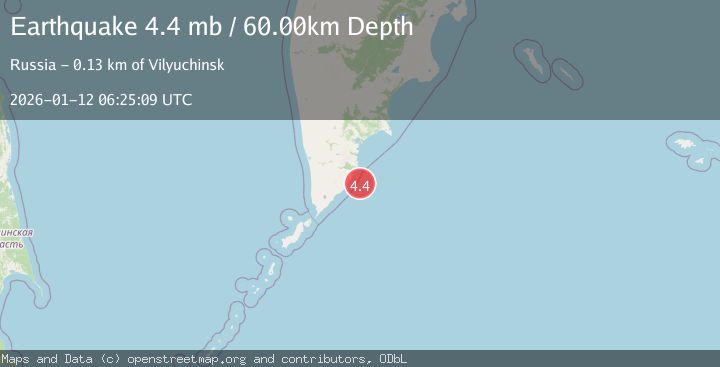
A 4.4 magnitude earthquake struck on NEAR EAST COAST OF KAMCHATKA, at Mon, 12 Jan 2026 06:25:09 GMT. Depth: 60km. Reviewed by GSRAS seismologists, this light quake occurred at a magnitude type of mb.
Magnitude
4.4
mb
Source
GSRAS
Intensity
-
Agency Reports
1 Sources| Source | Magnitude | Depth | Time |
|---|---|---|---|
| GSRASPrimary | 4.4 | 60 km | 1 month ago |
Earthquake Details
AutomaticEvent IDemsc_GSRAS_20260112_0000130
Tsunami PotentialNo
Magnitude Typemb
Nearest Places
- 31.4 km
- 31.9 km
- 32.3 km
- 32.5 km
- 33.5 km
Comments
Join the discussion about this event.
Latest Earthquakes
2.1Mag
Bali Region, Indonesia
Time5 minutes ago
Depth92.22 km
SourceBMKG
3.8Mag
offshore Atacama, Chile
Time11 minutes ago
Depth18.80 km
SourceVYT (Automatic)
0.7Mag
5 km W of Cobb, CA
Time12 minutes ago
Depth1.83 km
SourceUSGS (Automatic)
1.5Mag
Southern Alaska
Time13 minutes ago
Depth0.00 km
SourceVYT (Automatic)
3.0Mag
Halmahera, Indonesia
Time27 minutes ago
Depth4.64 km
SourceBMKG
Nearby Earthquakes
4.4Mag
NEAR EAST COAST OF KAMCHATKA
Time0 months ago
Depth68.10 km
SourceNEIC (Automatic)
4.0Mag
NEAR EAST COAST OF KAMCHATKA
Time2 months ago
Depth60.00 km
SourceGSRAS (Automatic)
4.4Mag
NEAR EAST COAST OF KAMCHATKA
Time0 months ago
Depth60.00 km
SourceGSRAS (Automatic)
6.2Mag
NEAR EAST COAST OF KAMCHATKA
Time0 months ago
Depth10.00 km
SourceGFZ (Automatic)
4.5Mag
NEAR EAST COAST OF KAMCHATKA
Time2 weeks ago
Depth66.00 km
SourceEMSC (Automatic)