Earthquake STRAIT OF GIBRALTAR
Sat, 14 Feb 2026 10:08:39 GMT
Time4 days ago
Location
36.5895, -5.3471
Depth
3.0 KM
Event Summary
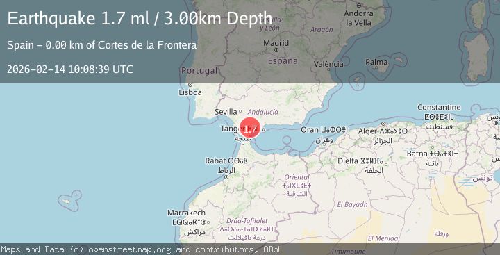
A 1.7 magnitude earthquake struck on STRAIT OF GIBRALTAR, at Sat, 14 Feb 2026 10:08:39 GMT. Depth: 3km. Reviewed by IGN seismologists, this minor quake occurred at a magnitude type of ml.
Magnitude
1.7
ml
Source
IGN
Intensity
-
Agency Reports
1 Sources| Source | Magnitude | Depth | Time |
|---|---|---|---|
| IGNPrimary | 1.7 | 3 km | 4 days ago |
Earthquake Details
AutomaticEvent IDemsc_IGN_20260214_0000171
Tsunami PotentialNo
Magnitude Typeml
Nearest Places
- Cortes de la Frontera3.1 km
- Sol y Sierra3.5 km
- Aziader3.7 km
- Garganta de la Pulga4.1 km
- Arroyo de las Carboneras5.2 km
Comments
Join the discussion about this event.
Latest Earthquakes
2.5Mag
WESTERN TURKEY
Time8 hours ago
Depth12.00 km
SourceKOERI (Automatic)
2.2Mag
Tarapaca, Chile
Time8 hours ago
Depth10.74 km
SourceVYT (Automatic)
1.6Mag
3 km W of Cobb, CA
Time8 hours ago
Depth1.71 km
SourceUSGS (Automatic)
2.9Mag
Northern Territory, Australia
Time8 hours ago
Depth54.08 km
SourceVYT (Automatic)
2.8Mag
Minahasa, Sulawesi, Indonesia
Time8 hours ago
Depth66.16 km
SourceVYT (Automatic)
Nearby Earthquakes
2.2Mag
STRAIT OF GIBRALTAR
Time5 days ago
Depth0.00 km
SourceIGN (Automatic)
2.0Mag
STRAIT OF GIBRALTAR
Time1 week ago
Depth0.00 km
SourceIGN (Automatic)
2.0Mag
STRAIT OF GIBRALTAR
Time4 days ago
Depth3.60 km
SourceIGN (Automatic)
1.9Mag
STRAIT OF GIBRALTAR
Time1 day ago
Depth0.00 km
SourceIGN (Automatic)
2.3Mag
STRAIT OF GIBRALTAR
Time1 week ago
Depth0.00 km
SourceIGN (Automatic)