Earthquake PYRENEES
Tue, 17 Feb 2026 04:50:31 GMT
Time2 days ago
Location
42.5866, 0.6343
Depth
8.0 KM
Event Summary
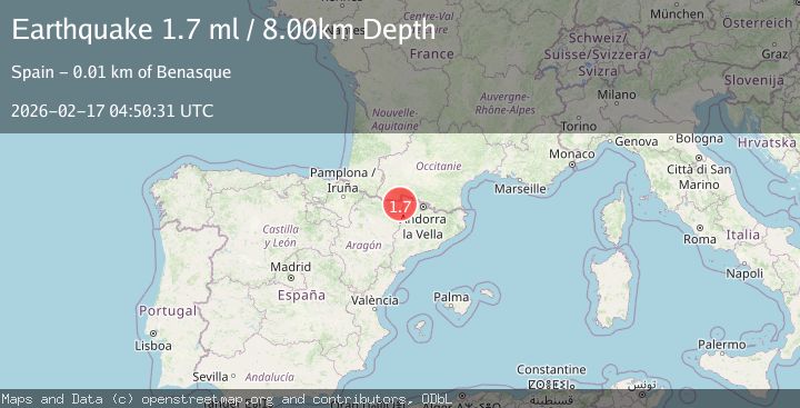
A 1.7 magnitude earthquake struck on PYRENEES, at Tue, 17 Feb 2026 04:50:31 GMT. Depth: 8km. Reviewed by IGN seismologists, this minor quake occurred at a magnitude type of ml.
Magnitude
1.7
ml
Source
IGN
Intensity
-
Agency Reports
1 Sources| Source | Magnitude | Depth | Time |
|---|---|---|---|
| IGNPrimary | 1.7 | 8 km | 2 days ago |
Earthquake Details
AutomaticEvent IDemsc_IGN_20260217_0000084
Tsunami PotentialNo
Magnitude Typeml
Nearest Places
- Sierra Negra0.8 km
- Tuca de Culebres1.7 km
- Collado de la Castanesa1.9 km
- Tuca de Vallibierna2.0 km
- Pico de Castanesa2.9 km
Comments
Join the discussion about this event.
Latest Earthquakes
1.7Mag
2 km NW of Enterprise, Nevada
Time14 hours ago
Depth15.89 km
SourceUSGS (Automatic)
1.3Mag
Southeastern Alaska
Time14 hours ago
Depth7.20 km
SourceVYT (Automatic)
0.8Mag
39 km NE of Amboy, Washington
Time14 hours ago
Depth7.36 km
SourceUSGS (Automatic)
3.2Mag
ANDHRA PRADESH, INDIA
Time14 hours ago
Depth4.70 km
SourceNDI (Automatic)
0.7Mag
10 km WNW of The Geysers, CA
Time14 hours ago
Depth2.56 km
SourceUSGS (Automatic)
Nearby Earthquakes
1.9Mag
PYRENEES
Time1 month ago
Depth0.00 km
SourceIGN (Automatic)
3.0Mag
PYRENEES
Time2 years ago
Depth0.00 km
SourceEMSC (Automatic)
3.0Mag
PYRENEES
Time5 years ago
Depth10.00 km
SourceEMSC (Automatic)
3.0Mag
PYRENEES
Time25 years ago
Depth15.00 km
SourceEMSC (Automatic)
3.0Mag
PYRENEES
Time4 years ago
Depth1.00 km
SourceEMSC (Automatic)