Earthquake STRAIT OF GIBRALTAR
Tue, 17 Feb 2026 23:53:26 GMT
Time12 hours ago
Location
36.6694, -7.3244
Depth
27.7 KM
Event Summary
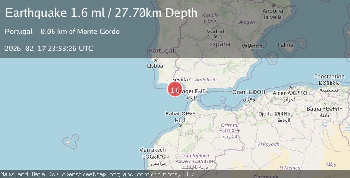
A 1.6 magnitude earthquake struck on STRAIT OF GIBRALTAR, at Tue, 17 Feb 2026 23:53:26 GMT. Depth: 27.7km. Reviewed by IGN seismologists, this minor quake occurred at a magnitude type of ml.
Magnitude
1.6
ml
Source
IGN
Intensity
-
Agency Reports
1 Sources| Source | Magnitude | Depth | Time |
|---|---|---|---|
| IGNPrimary | 1.6 | 28 km | 12 hours ago |
Earthquake Details
AutomaticEvent IDemsc_IGN_20260217_0000367
Tsunami PotentialNo
Magnitude Typeml
Nearest Places
- Golfo de Cádiz23.0 km
- Ribeira da Pardiela39.4 km
- Praia do Barril55.2 km
- Ilha de Tavira55.2 km
- Praia da Terra Estreita55.3 km
Comments
Join the discussion about this event.
Latest Earthquakes
2.4Mag
Finland-Russia border region
Time2 minutes ago
Depth341.92 km
SourceVYT (Automatic)
0.9Mag
8 km W of Cobb, CA
Time7 minutes ago
Depth1.53 km
SourceUSGS (Automatic)
1.8Mag
Central Alaska
Time9 minutes ago
Depth2.08 km
SourceVYT (Automatic)
2.9Mag
WESTERN TURKEY
Time12 minutes ago
Depth11.80 km
SourceKOERI (Automatic)
2.8Mag
Sulawesi, Indonesia
Time13 minutes ago
Depth21.08 km
SourceBMKG
Nearby Earthquakes
3.0Mag
STRAIT OF GIBRALTAR
Time1 year ago
Depth10.00 km
SourceEMSC (Automatic)
3.0Mag
STRAIT OF GIBRALTAR
Time22 years ago
Depth45.00 km
SourceEMSC (Automatic)
3.0Mag
STRAIT OF GIBRALTAR
Time6 months ago
Depth61.20 km
SourceEMSC (Automatic)
3.0Mag
STRAIT OF GIBRALTAR
Time10 years ago
Depth40.00 km
SourceEMSC (Automatic)
3.0Mag
STRAIT OF GIBRALTAR
Time2 years ago
Depth10.00 km
SourceEMSC (Automatic)