Earthquake MYANMAR
Fri, 26 Feb 2021 09:33:19 GMT
Time4 years ago
Location
23.0300, 94.1200
Depth
10.0 KM
Event Summary
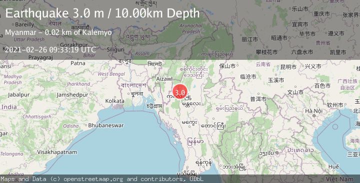
A 3.0 magnitude earthquake struck on MYANMAR, at Fri, 26 Feb 2021 09:33:19 GMT. Depth: 10km. Reviewed by NDI seismologists, this minor quake occurred at a magnitude type of m.
Magnitude
3.0
m
Source
NDI
Intensity
-
Agency Reports
1 Sources| Source | Magnitude | Depth | Time |
|---|---|---|---|
| NDIPrimary | 3.0 | 10 km | 4 years ago |
Earthquake Details
AutomaticEvent IDemsc_NDI_20210226_0000072
Tsunami PotentialNo
Magnitude Typem
Nearest Places
- 2.7 km
- 3.4 km
- 3.8 km
- 5.5 km
- 5.7 km
Comments
Join the discussion about this event.
Latest Earthquakes
2.4Mag
Fox Islands, Aleutian Islands, Alaska
Time3 hours ago
Depth17.70 km
SourceVYT (Automatic)
1.1Mag
1 km NNW of The Geysers, CA
Time3 hours ago
Depth2.02 km
SourceUSGS (Automatic)
1.2Mag
6 km S of Carpinteria, CA
Time3 hours ago
Depth9.91 km
SourceUSGS (Automatic)
3.1Mag
northern Colombia
Time3 hours ago
Depth187.62 km
SourceVYT (Automatic)
2.7Mag
Sumbawa region, Indonesia
Time3 hours ago
Depth0.00 km
SourceVYT (Automatic)
Nearby Earthquakes
3.5Mag
MYANMAR
Time1 month ago
Depth70.00 km
SourceNDI (Automatic)
4.0Mag
MYANMAR
Time3 years ago
Depth47.00 km
SourceNEIC (Automatic)
4.0Mag
MYANMAR
Time7 months ago
Depth90.00 km
SourceNDI (Automatic)
4.0Mag
MYANMAR-INDIA BORDER REGION
Time1 year ago
Depth109.00 km
SourceNDI (Automatic)
5.9Mag
MYANMAR
Time5 years ago
Depth20.00 km
SourceEMSC (Automatic)