Earthquake MYANMAR
Mon, 19 Jan 2026 18:48:35 GMT
Time1 month ago
Location
24.7600, 95.0500
Depth
125.0 KM
Event Summary
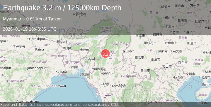
A 3.2 magnitude earthquake struck on MYANMAR, at Mon, 19 Jan 2026 18:48:35 GMT. Depth: 125km. Reviewed by NDI seismologists, this minor quake occurred at a magnitude type of m.
Magnitude
3.2
m
Source
NDI
Intensity
-
Agency Reports
1 Sources| Source | Magnitude | Depth | Time |
|---|---|---|---|
| NDIPrimary | 3.2 | 125 km | 1 month ago |
Earthquake Details
AutomaticEvent IDemsc_NDI_20260119_0000253
Tsunami PotentialNo
Magnitude Typem
Nearest Places
- 0.6 km
- 1.8 km
- 2.3 km
- 3.1 km
- 3.7 km
Comments
Join the discussion about this event.
Latest Earthquakes
1.6Mag
NORTHERN ITALY
Time3 minutes ago
Depth12.00 km
SourceOGS (Automatic)
0.7Mag
13 km ESE of Julian, CA
Time8 minutes ago
Depth4.92 km
SourceUSGS (Automatic)
0.8Mag
6 km NW of The Geysers, CA
Time14 minutes ago
Depth2.94 km
SourceUSGS (Automatic)
2.4Mag
Minahassa Peninsula, Sulawesi
Time18 minutes ago
Depth166.04 km
SourceBMKG
2.2Mag
Tarapaca, Chile
Time19 minutes ago
Depth137.21 km
SourceVYT (Automatic)
Nearby Earthquakes
5.0Mag
MYANMAR
Time19 years ago
Depth115.00 km
SourceEMSC (Automatic)
5.1Mag
MYANMAR
Time1 year ago
Depth112.00 km
SourceEMSC (Automatic)
4.4Mag
MYANMAR
Time1 month ago
Depth138.00 km
SourceEMSC (Automatic)
5.5Mag
MYANMAR-INDIA BORDER REGION
Time8 years ago
Depth30.00 km
SourceEMSC (Automatic)
5.1Mag
MYANMAR
Time19 years ago
Depth33.00 km
SourceEMSC (Automatic)