Earthquake MYANMAR
Mon, 19 Jan 2026 18:56:35 GMT
Time1 month ago
Location
17.0900, 95.4500
Depth
105.0 KM
Event Summary
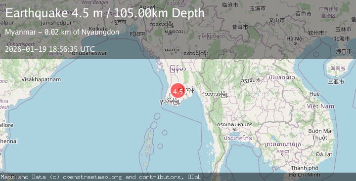
A 4.5 magnitude earthquake struck on MYANMAR, at Mon, 19 Jan 2026 18:56:35 GMT. Depth: 105km. Reviewed by NDI seismologists, this light quake occurred at a magnitude type of m.
Magnitude
4.5
m
Source
NDI
Intensity
-
Agency Reports
1 Sources| Source | Magnitude | Depth | Time |
|---|---|---|---|
| NDIPrimary | 4.5 | 105 km | 1 month ago |
Earthquake Details
AutomaticEvent IDemsc_NDI_20260119_0000349
Tsunami PotentialNo
Magnitude Typem
Nearest Places
- 2.8 km
- 4.1 km
- 4.7 km
- 5.5 km
- 5.7 km
Comments
Join the discussion about this event.
Latest Earthquakes
2.8Mag
Sulawesi, Indonesia
Time1 minute ago
Depth22.09 km
SourceVYT (Automatic)
1.8Mag
Kenai Peninsula, Alaska
Time3 minutes ago
Depth0.12 km
SourceVYT (Automatic)
2.6Mag
Java, Indonesia
Time3 minutes ago
Depth75.27 km
SourceBMKG
1.4Mag
Southern Alaska
Time4 minutes ago
Depth3.91 km
SourceVYT (Automatic)
2.3Mag
Greater Los Angeles area, California
Time5 minutes ago
Depth4.52 km
SourceVYT (Automatic)
Nearby Earthquakes
5.1Mag
NEAR SOUTH COAST OF MYANMAR
Time11 months ago
Depth10.00 km
SourceEMSC (Automatic)
3.1Mag
MYANMAR
Time1 month ago
Depth10.00 km
SourceTSB (Automatic)
4.4Mag
MYANMAR
Time1 month ago
Depth10.00 km
SourceEMSC (Automatic)
3.0Mag
MYANMAR
Time1 month ago
Depth10.00 km
SourceTSB (Automatic)
5.1Mag
MYANMAR
Time8 years ago
Depth10.00 km
SourceEMSC (Automatic)