Earthquake INDIA-BANGLADESH BORDER REGION
Thu, 19 Feb 2026 06:46:56 GMT
Time2 months ago
Location
24.9720, 91.6759
Depth
626.2 KM
Event Summary
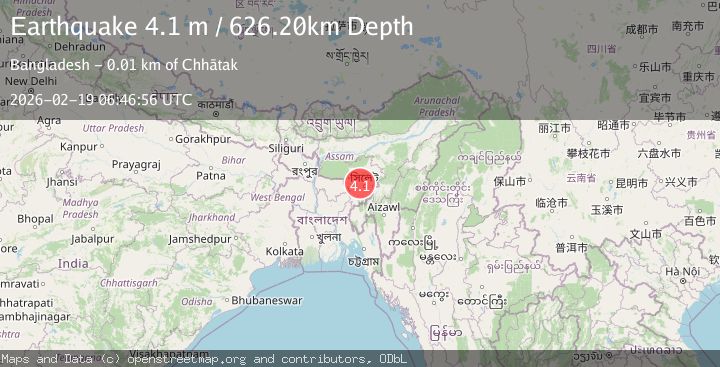
A 4.1 magnitude earthquake struck on INDIA-BANGLADESH BORDER REGION, at Thu, 19 Feb 2026 06:46:56 GMT. Depth: 626.2km. Reviewed by NDI seismologists, this light quake occurred at a magnitude type of m.
Magnitude
4.1
m
Source
NDI
Intensity
-
Agency Reports
1 Sources| Source | Magnitude | Depth | Time |
|---|---|---|---|
| NDIPrimary | 4.1 | 626 km | 2 months ago |
Earthquake Details
AutomaticEvent IDemsc_NDI_20260219_0000109
QualityS
Tsunami PotentialNo
Magnitude Typem
Last Update2 months ago
Felt Reports0
Did you feel this earthquake? Report it to help others.
No reports yet
Be the first to report this earthquake!
Latest Earthquakes
Loading...
Nearby Earthquakes
2.8Mag
MEGHALAYA, INDIA REGION
Time4 days ago
Depth5.00 km
SourceNDI (Automatic)
3.1Mag
INDIA-BANGLADESH BORDER REGION
Time2 weeks ago
Depth10.00 km
SourceNDI (Automatic)
3.2Mag
INDIA-BANGLADESH BORDER REGION
Time3 weeks ago
Depth10.00 km
SourceNDI (Automatic)
3.6Mag
MEGHALAYA, INDIA REGION
Time3 weeks ago
Depth10.00 km
SourceNDI (Automatic)
3.3Mag
INDIA-BANGLADESH BORDER REGION
Time3 weeks ago
Depth41.50 km
SourceNDI (Automatic)