Earthquake KERMADEC ISLANDS REGION
Fri, 05 Mar 2021 00:02:57 GMT
Time4 years ago
Location
-27.8200, -176.7000
Depth
10.0 KM
Event Summary
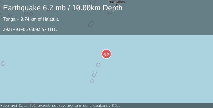
A 6.2 magnitude earthquake struck on KERMADEC ISLANDS REGION, at Fri, 05 Mar 2021 00:02:57 GMT. Depth: 10km. Reviewed by NEIC seismologists, this strong quake occurred at a magnitude type of mb.
Magnitude
6.2
mb
Source
NEIC
Intensity
-
Agency Reports
2 Sources| Source | Magnitude | Depth | Time |
|---|---|---|---|
| NEICPrimary | 5.0 | 10 km | 4 years ago |
| EMSC | 6.2 | 10 km | 4 years ago |
Earthquake Details
AutomaticEvent IDemsc_NEIC_20210305_0000435
Tsunami PotentialNo
Magnitude Typemb
Nearest Places
- 93.8 km
- 133.4 km
- 147.1 km
- 172.3 km
- 190.7 km
Comments
Join the discussion about this event.
Latest Earthquakes
2.6Mag
Southern Alaska
Time9 minutes ago
Depth60.55 km
SourceVYT (Automatic)
2.0Mag
Java, Indonesia
Time9 minutes ago
Depth43.36 km
SourceBMKG
1.7Mag
11 km SE of Pāhala, Hawaii
Time17 minutes ago
Depth30.91 km
SourceUSGS (Automatic)
3.1Mag
northern Sumatra, Indonesia
Time17 minutes ago
Depth0.00 km
SourceVYT (Automatic)
1.4Mag
Central Alaska
Time19 minutes ago
Depth1.71 km
SourceVYT (Automatic)
Nearby Earthquakes
5.6Mag
KERMADEC ISLANDS REGION
Time8 years ago
Depth10.00 km
SourceEMSC (Automatic)
5.2Mag
KERMADEC ISLANDS REGION
Time4 years ago
Depth10.00 km
SourceEMSC (Automatic)
5.0Mag
KERMADEC ISLANDS REGION
Time1 year ago
Depth39.80 km
SourceEMSC (Automatic)
5.1Mag
KERMADEC ISLANDS REGION
Time4 years ago
Depth30.00 km
SourceEMSC (Automatic)
5.6Mag
KERMADEC ISLANDS REGION
Time1 year ago
Depth20.00 km
SourceEMSC (Automatic)