Earthquake KERMADEC ISLANDS REGION
Thu, 01 Jan 2026 02:35:04 GMT
Time1 month ago
Location
-31.9426, -179.5301
Depth
203.8 KM
Event Summary
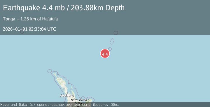
A 4.4 magnitude earthquake struck on KERMADEC ISLANDS REGION, at Thu, 01 Jan 2026 02:35:04 GMT. Depth: 203.8km. Reviewed by NEIC seismologists, this light quake occurred at a magnitude type of mb.
Magnitude
4.4
mb
Source
NEIC
Intensity
-
Agency Reports
1 Sources| Source | Magnitude | Depth | Time |
|---|---|---|---|
| NEICPrimary | 4.4 | 204 km | 1 month ago |
Earthquake Details
AutomaticEvent IDemsc_NEIC_20260101_0000429
Tsunami PotentialNo
Magnitude Typemb
Nearest Places
- Havre Trough49.3 km
- Speight Knoll49.8 km
- Oliver Knoll52.0 km
- Star of Bengal Bank66.5 km
- Haungaroa Seamount76.0 km
Comments
Join the discussion about this event.
Latest Earthquakes
3.5Mag
Ceram Sea, Indonesia
Time3 minutes ago
Depth0.00 km
SourceVYT (Automatic)
2.0Mag
Unimak Island region, Alaska
Time3 minutes ago
Depth32.10 km
SourceVYT (Automatic)
2.3Mag
Central Alaska
Time6 minutes ago
Depth0.00 km
SourceVYT (Automatic)
2.8Mag
Valparaiso, Chile
Time9 minutes ago
Depth20.02 km
SourceVYT (Automatic)
1.3Mag
Tarapaca, Chile
Time13 minutes ago
Depth0.00 km
SourceVYT (Automatic)
Nearby Earthquakes
5.1Mag
KERMADEC ISLANDS REGION
Time9 years ago
Depth220.00 km
SourceEMSC (Automatic)
5.2Mag
KERMADEC ISLANDS REGION
Time17 years ago
Depth122.00 km
SourceEMSC (Automatic)
5.3Mag
KERMADEC ISLANDS REGION
Time3 years ago
Depth114.00 km
SourceEMSC (Automatic)
5.0Mag
KERMADEC ISLANDS REGION
Time14 years ago
Depth37.00 km
SourceNEIC (Automatic)
5.1Mag
KERMADEC ISLANDS REGION
Time14 years ago
Depth206.00 km
SourceEMSC (Automatic)