Earthquake SOUTH SANDWICH ISLANDS REGION
Fri, 02 Jan 2026 05:01:20 GMT
Time2 months ago
Location
-57.3270, -25.4193
Depth
39.4 KM
Event Summary
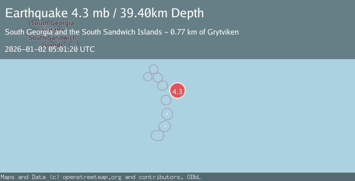
A 4.3 magnitude earthquake struck on SOUTH SANDWICH ISLANDS REGION, at Fri, 02 Jan 2026 05:01:20 GMT. Depth: 39.4km. Reviewed by NEIC seismologists, this light quake occurred at a magnitude type of mb.
Magnitude
4.3
mb
Source
NEIC
Intensity
-
Agency Reports
1 Sources| Source | Magnitude | Depth | Time |
|---|---|---|---|
| NEICPrimary | 4.3 | 39 km | 2 months ago |
Earthquake Details
AutomaticEvent IDemsc_NEIC_20260102_0000367
Tsunami PotentialNo
Magnitude Typemb
Nearest Places
- 73.4 km
- 75.9 km
- 77.0 km
- 77.2 km
- 77.4 km
Comments
Join the discussion about this event.
Latest Earthquakes
2.4Mag
offshore Bio-Bio, Chile
Time2 minutes ago
Depth0.12 km
SourceVYT (Automatic)
2.8Mag
Alaska Peninsula
Time10 minutes ago
Depth139.28 km
SourceVYT (Automatic)
1.1Mag
9 km NW of The Geysers, CA
Time14 minutes ago
Depth0.29 km
SourceUSGS (Automatic)
3.1Mag
La Paz, Bolivia
Time14 minutes ago
Depth207.76 km
SourceVYT (Automatic)
3.3Mag
EASTERN XIZANG
Time16 minutes ago
Depth10.00 km
SourceNDI (Automatic)
Nearby Earthquakes
5.0Mag
SOUTH SANDWICH ISLANDS REGION
Time2 months ago
Depth47.00 km
SourceEMSC (Automatic)
5.5Mag
SOUTH SANDWICH ISLANDS REGION
Time4 years ago
Depth40.00 km
SourceEMSC (Automatic)
5.1Mag
SOUTH SANDWICH ISLANDS REGION
Time2 years ago
Depth47.00 km
SourceEMSC (Automatic)
5.6Mag
SOUTH SANDWICH ISLANDS REGION
Time14 years ago
Depth60.00 km
SourceEMSC (Automatic)
5.6Mag
SOUTH SANDWICH ISLANDS REGION
Time11 months ago
Depth47.00 km
SourceEMSC (Automatic)