Earthquake STATE OF YAP, MICRONESIA
Tue, 13 Jan 2026 10:47:16 GMT
Time4 months ago
Location
11.6405, 141.6444
Depth
35.8 KM
Event Summary
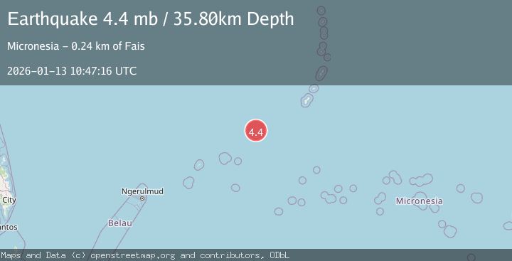
A 4.4 magnitude earthquake struck on STATE OF YAP, MICRONESIA, at Tue, 13 Jan 2026 10:47:16 GMT. Depth: 35.8km. Reviewed by NEIC seismologists, this light quake occurred at a magnitude type of mb.
Magnitude
4.4
mb
Source
NEIC
Intensity
-
Agency Reports
1 Sources| Source | Magnitude | Depth | Time |
|---|---|---|---|
| NEICPrimary | 4.4 | 36 km | 4 months ago |
Earthquake Details
AutomaticEvent IDemsc_NEIC_20260113_0000390
QualityS
Tsunami PotentialNo
Magnitude Typemb
Last Update3 months ago
Felt Reports0
Did you feel this earthquake? Report it to help others.
No reports yet
Be the first to report this earthquake!
Latest Earthquakes
Loading...
Nearby Earthquakes
4.2Mag
MARIANA ISLANDS REGION
Time3 months ago
Depth85.30 km
SourceNEIC (Automatic)
4.9Mag
MARIANA ISLANDS REGION
Time4 months ago
Depth10.00 km
SourceEMSC (Automatic)
5.2Mag
STATE OF YAP, MICRONESIA
Time7 months ago
Depth10.00 km
SourceEMSC (Automatic)
5.6Mag
STATE OF YAP, MICRONESIA
Time7 months ago
Depth10.00 km
SourceEMSC (Automatic)
5.1Mag
STATE OF YAP, MICRONESIA
Time7 months ago
Depth65.00 km
SourceEMSC (Automatic)