Earthquake SOUTH SANDWICH ISLANDS REGION
Fri, 16 Jan 2026 15:40:08 GMT
Time1 month ago
Location
-56.9855, -24.7245
Depth
35.0 KM
Event Summary
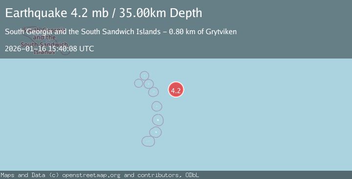
A 4.2 magnitude earthquake struck on SOUTH SANDWICH ISLANDS REGION, at Fri, 16 Jan 2026 15:40:08 GMT. Depth: 35km. Reviewed by NEIC seismologists, this light quake occurred at a magnitude type of mb.
Magnitude
4.2
mb
Source
NEIC
Intensity
-
Agency Reports
1 Sources| Source | Magnitude | Depth | Time |
|---|---|---|---|
| NEICPrimary | 4.2 | 35 km | 1 month ago |
Earthquake Details
AutomaticEvent IDemsc_NEIC_20260116_0000422
Tsunami PotentialNo
Magnitude Typemb
Nearest Places
- 29.8 km
- 56.5 km
- 75.5 km
- 116.8 km
- 116.9 km
Comments
Join the discussion about this event.
Latest Earthquakes
2.9Mag
GUATEMALA
Time7 minutes ago
Depth5.00 km
SourceINET (Automatic)
2.8Mag
Java, Indonesia
Time13 minutes ago
Depth23.01 km
SourceBMKG
2.4Mag
Minahassa Peninsula, Sulawesi
Time13 minutes ago
Depth4.94 km
SourceBMKG
2.6Mag
Java, Indonesia
Time13 minutes ago
Depth0.00 km
SourceVYT (Automatic)
3.2Mag
near the coast of Antofagasta, Chile
Time21 minutes ago
Depth0.00 km
SourceVYT (Automatic)
Nearby Earthquakes
6.2Mag
SOUTH SANDWICH ISLANDS REGION
Time21 years ago
Depth10.00 km
SourceNEIC (Automatic)
5.5Mag
SOUTH SANDWICH ISLANDS REGION
Time18 years ago
Depth10.00 km
SourceEMSC (Automatic)
5.4Mag
SOUTH SANDWICH ISLANDS REGION
Time16 years ago
Depth10.00 km
SourceEMSC (Automatic)
5.4Mag
SOUTH SANDWICH ISLANDS REGION
Time21 years ago
Depth2.00 km
SourceEMSC (Automatic)
5.1Mag
SOUTH SANDWICH ISLANDS REGION
Time3 years ago
Depth10.00 km
SourceEMSC (Automatic)